The Pitch
It was probably around February 2020 and I was mostly getting to the point where I was finalizing my trips for the upcoming hunting season. A trip to Pennsylvania, my elk and mule deer second rifle season, and a couple other new species hunts I wanted to try. I tentatively left a week of my vacation unaccounted for knowing that my buddy Brian might have some hair brained scheme in mind for a backcountry bird hunt. Seemingly right on cue we began texting about the next adventure he had in store. He asked if I had any mountain biking experience. Brian suggested that we backcountry bikepack the Maah Daah Hey trail on fat tire bikes. The fat tires would give us the most traction for changing weather conditions and allow us to pack more weight by toting a trailer.
The bike idea was likely out for me. I’d been laying out cash for other projects like a new hunting rifle and had just bought my SeekOutside tipi so I was tapped for fun money. I decided I could buy a non-frame backpack to tote my gear, and I’d hike the trail behind Brian and the dogs.
About the Trail
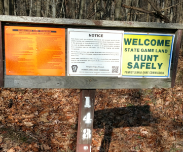
When we first began discussing the trip I played the well researched computer geek I am as we texted back and forth. We’d text in near real time until I was woefully out of depth and then I’d go off and research a little bit. The Maah Daah Hey Trail was new territory for me, as was North Dakota. I’d been to South Dakota as a highschool senior on our trip through the Badlands, but had never set foot in North Dakota. I was looking forward to it. I’d been chased around by reservation officers in my youth while fishing around the outskirts of the Seneca Nation in Salamanca, NY. So I was a little wary about the regulations. I made sure to check and see if I needed an additional permit to hunt while trekking the Maah Daah Hey trail and none was required.
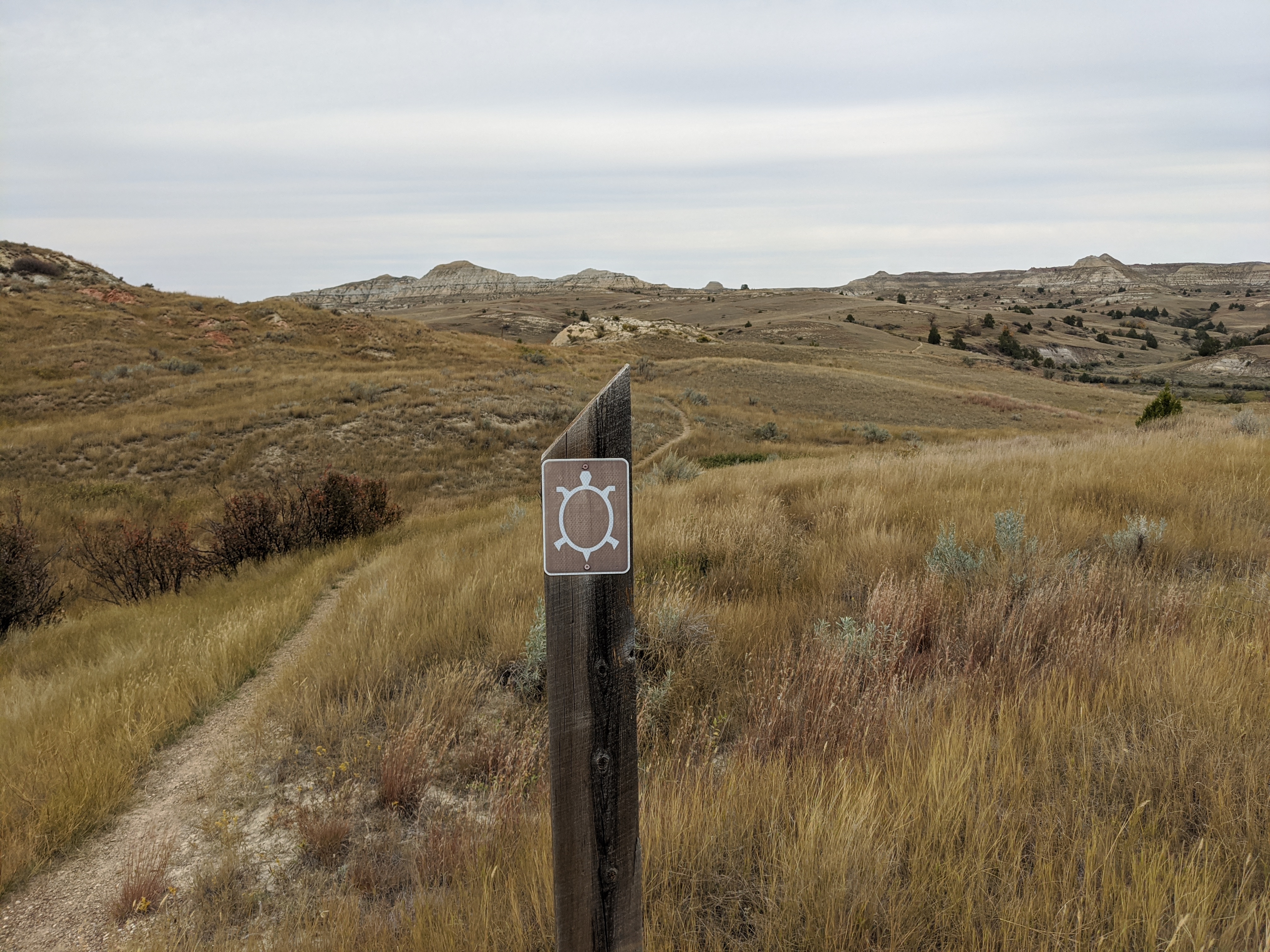
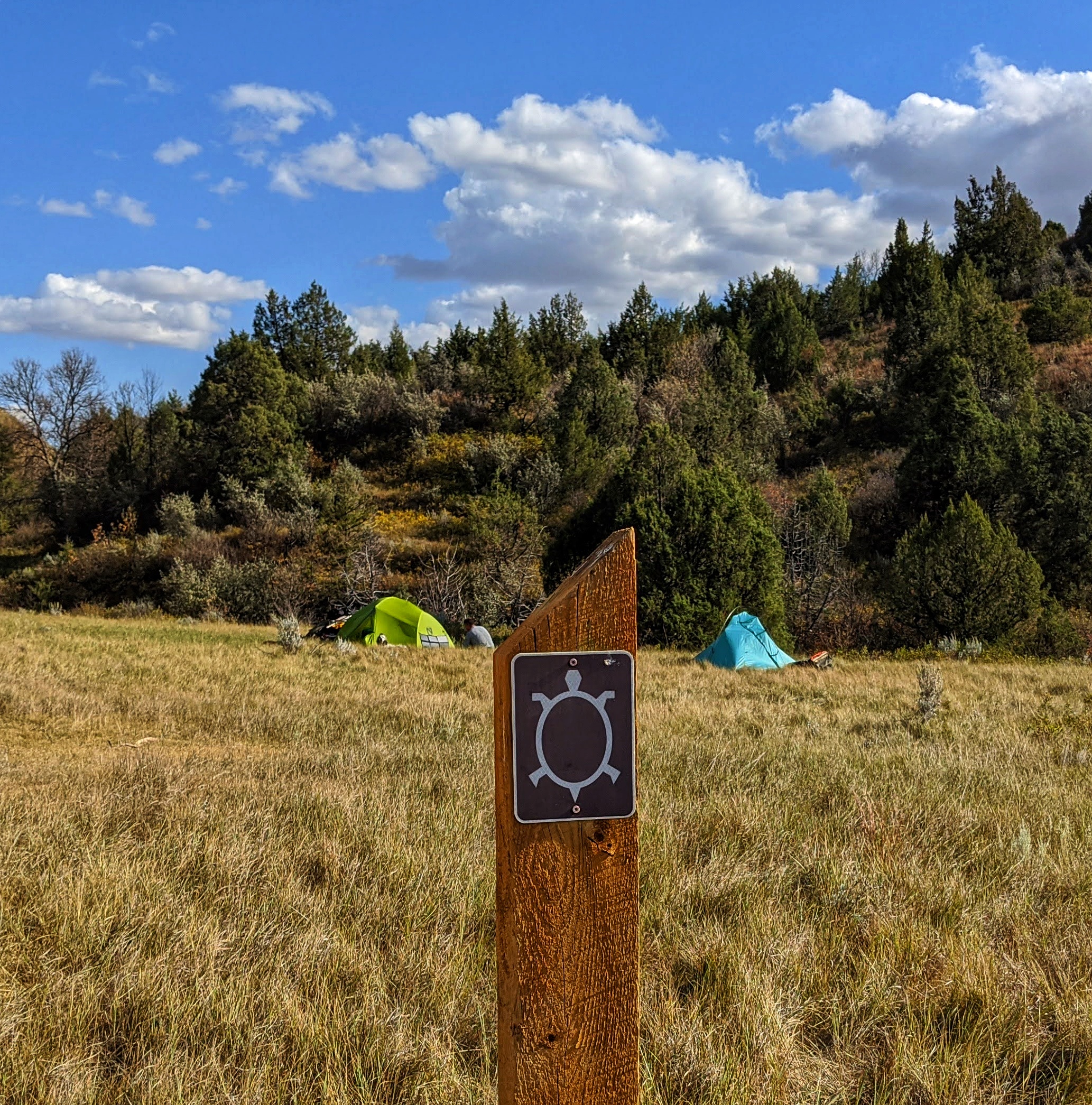
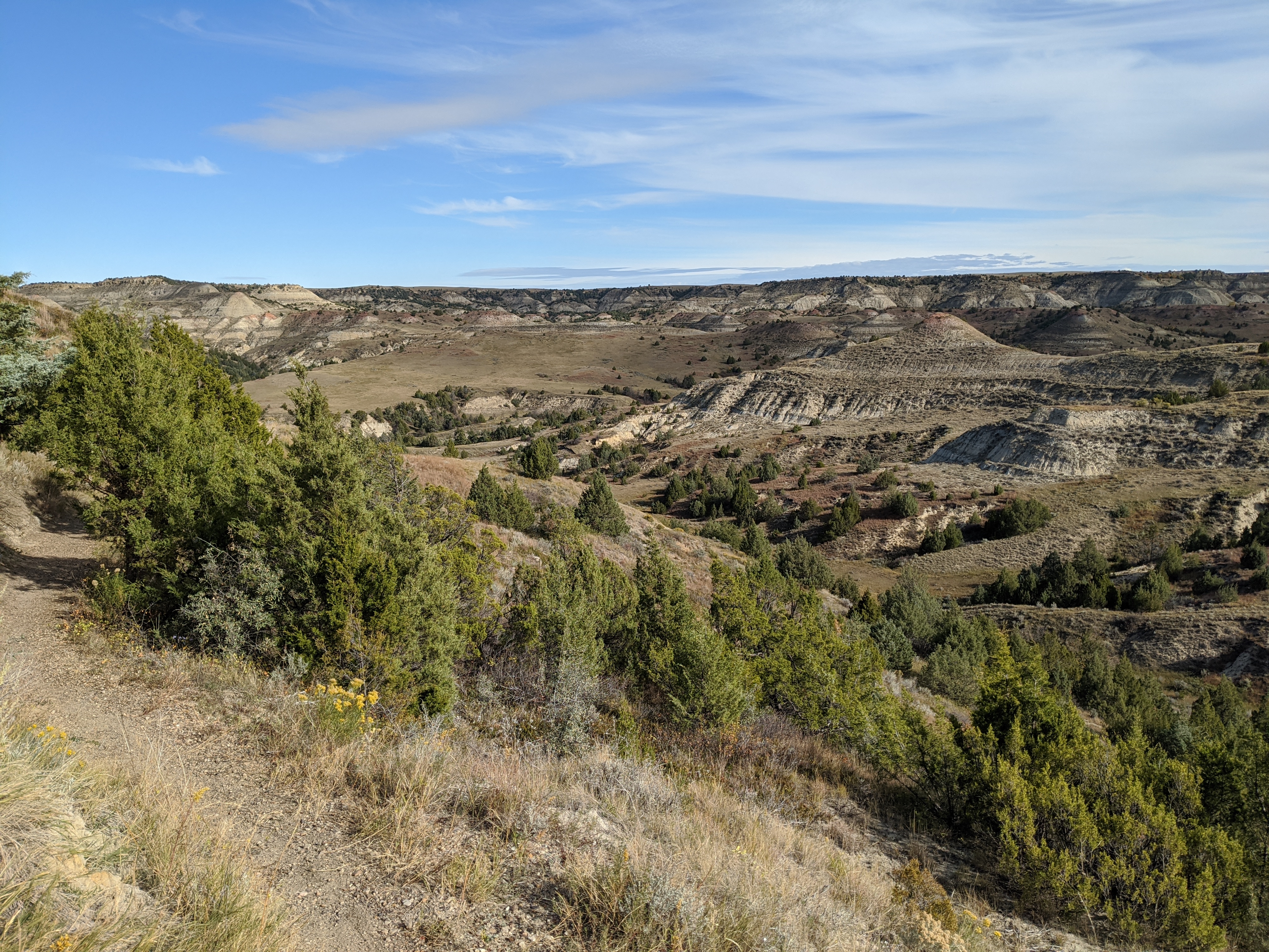
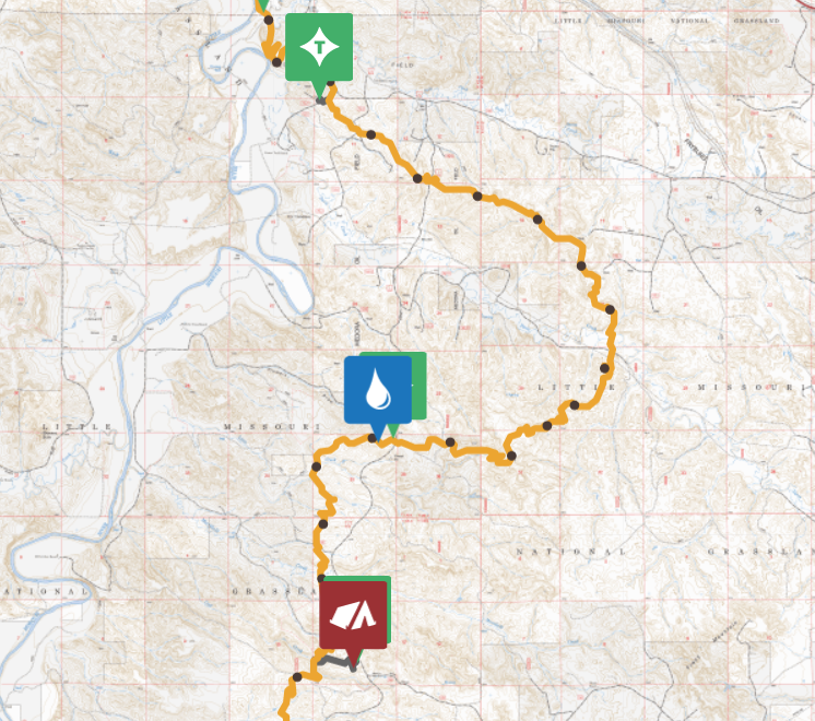
Maah Daah Hey is a Mandan Indian phrase that means “an area that has been or will be around for a long time.” Hopefully it will be, the area is mixed BLM, State land, Grassland, and National Park. There are some parcels of private land on easements that the trail pass through, so be wary during your hunt as to when you’re good to go. The trail itself is 144 miles, which I would be joining Brian for the first 35-40 of them.
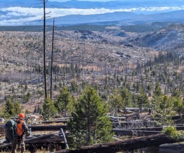
The Maah Daah Hey trail is a single track, and multi use though the primary use is for mountain bikers. The fall is the “off season” for most mountain bike activity. However, hikers, horseback riders, runners, and bikepackers are common sights along the trail. Apparently backpack hunters are less common as we found out.
Planning the Trek
Months before I ever put a hiking boot in the moon dust of the Maah Daah Hey trail Brian texted me about our next adventure. We hunted ptarmigan above treeline in Colorado last year, and this year promised to be a different kind of grueling. It was going to be logistically challenging, and I was brought in to help him on the first leg of his Maah Daah Hey fat-tire-biking-bird-hunting-self-filming extravaganza.
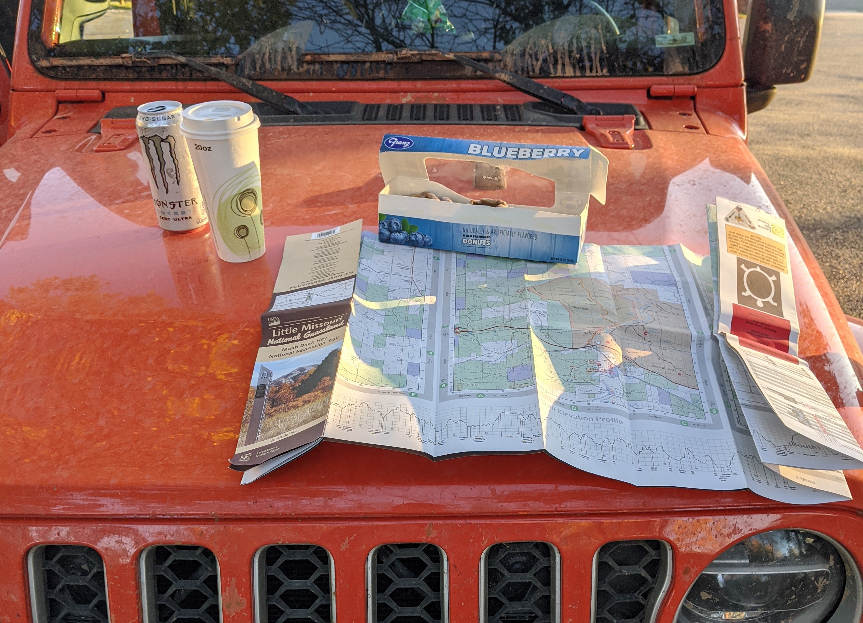
My leg of the trip would be backpacking, and running support for his laydown of cache sites. In return I got fed some delicious grub from camp and got to hunt over Ida and Rio. Not a bad deal. Brian and I had shared KML files back and forth before the trip, and I had a rough idea how it was going to go down. Anything that broke or was too heavy would go back to Colorado with me, and I’d ship it back when he was back from North Dakota. After I left he’d be running unsupported in the driest section of the trail, so we had to get this right.
Setting Out
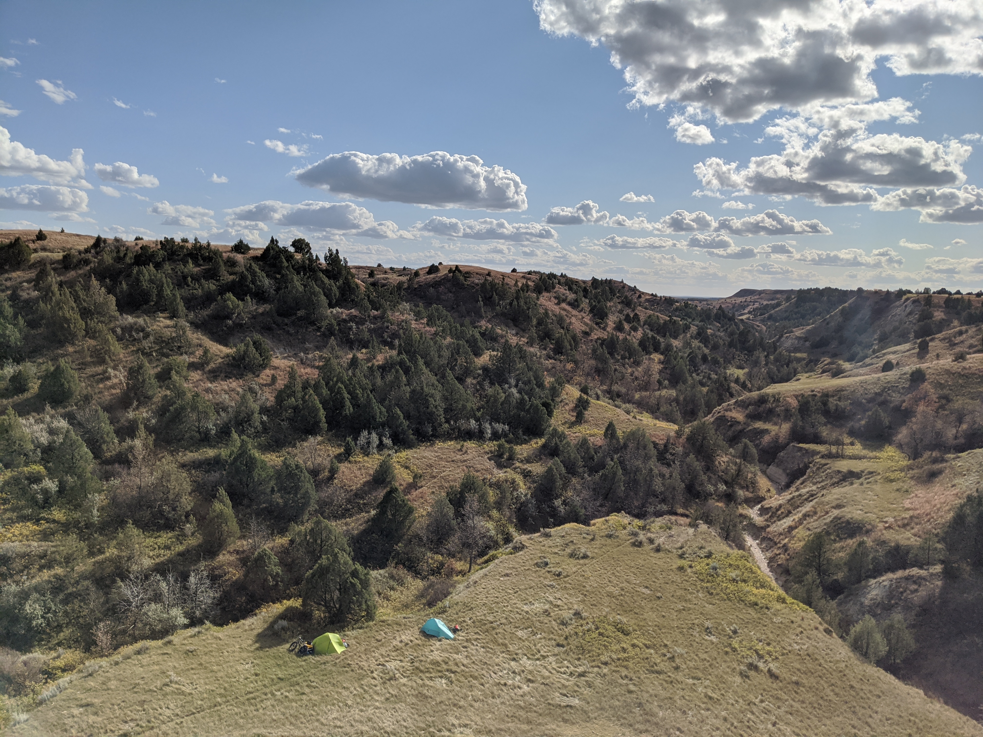
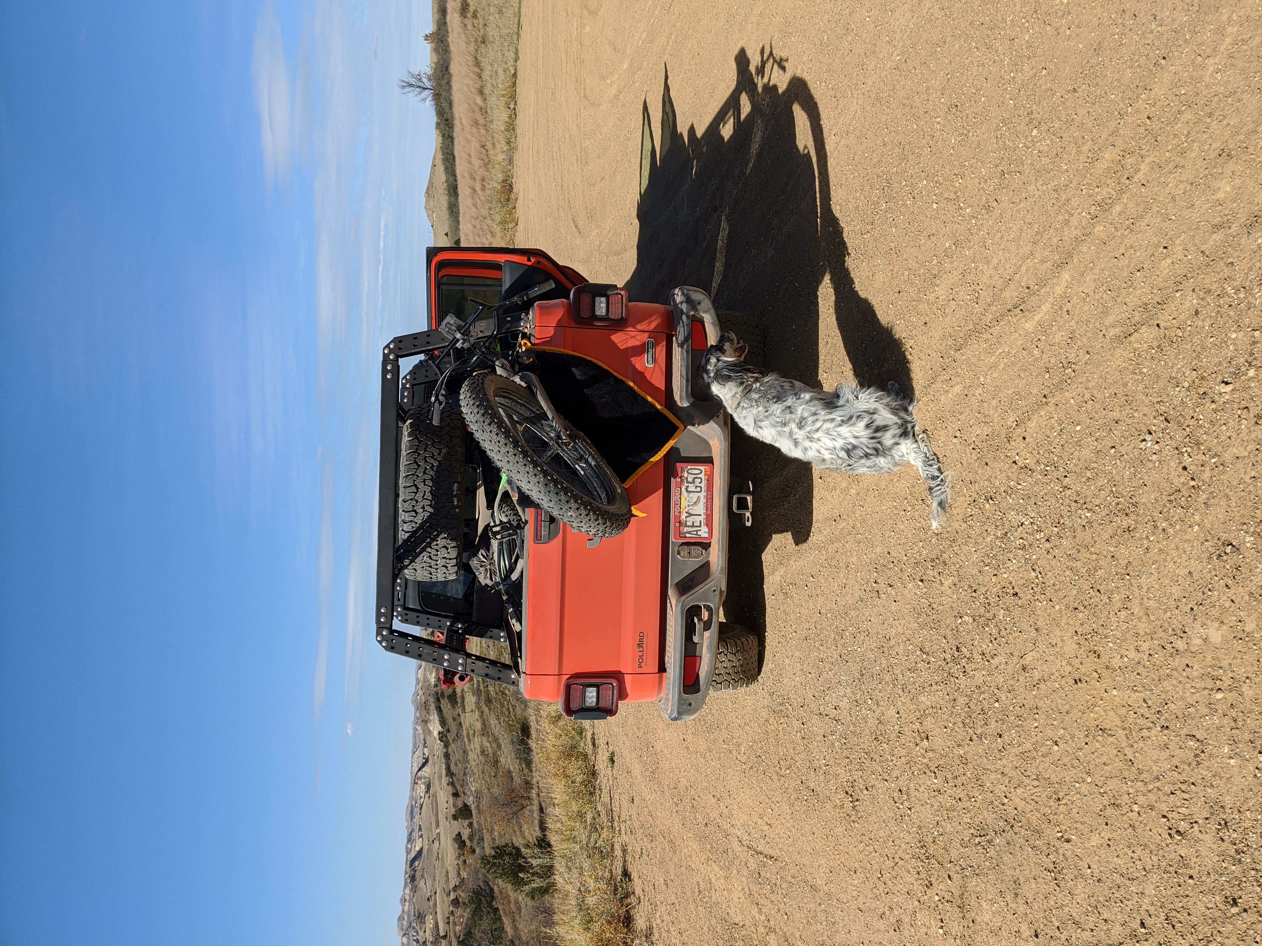
After months of planning, texting back and forth, buying and testing new gear we were finally ready. I’d already done some high elevation backpacking and 150 trail miles by the time fall came around; I was finally ready to take a long hike. We reckoned the trip would take a week and would allow us to camp and hunt along the 35 or so miles to my truck where we’d stashed it.
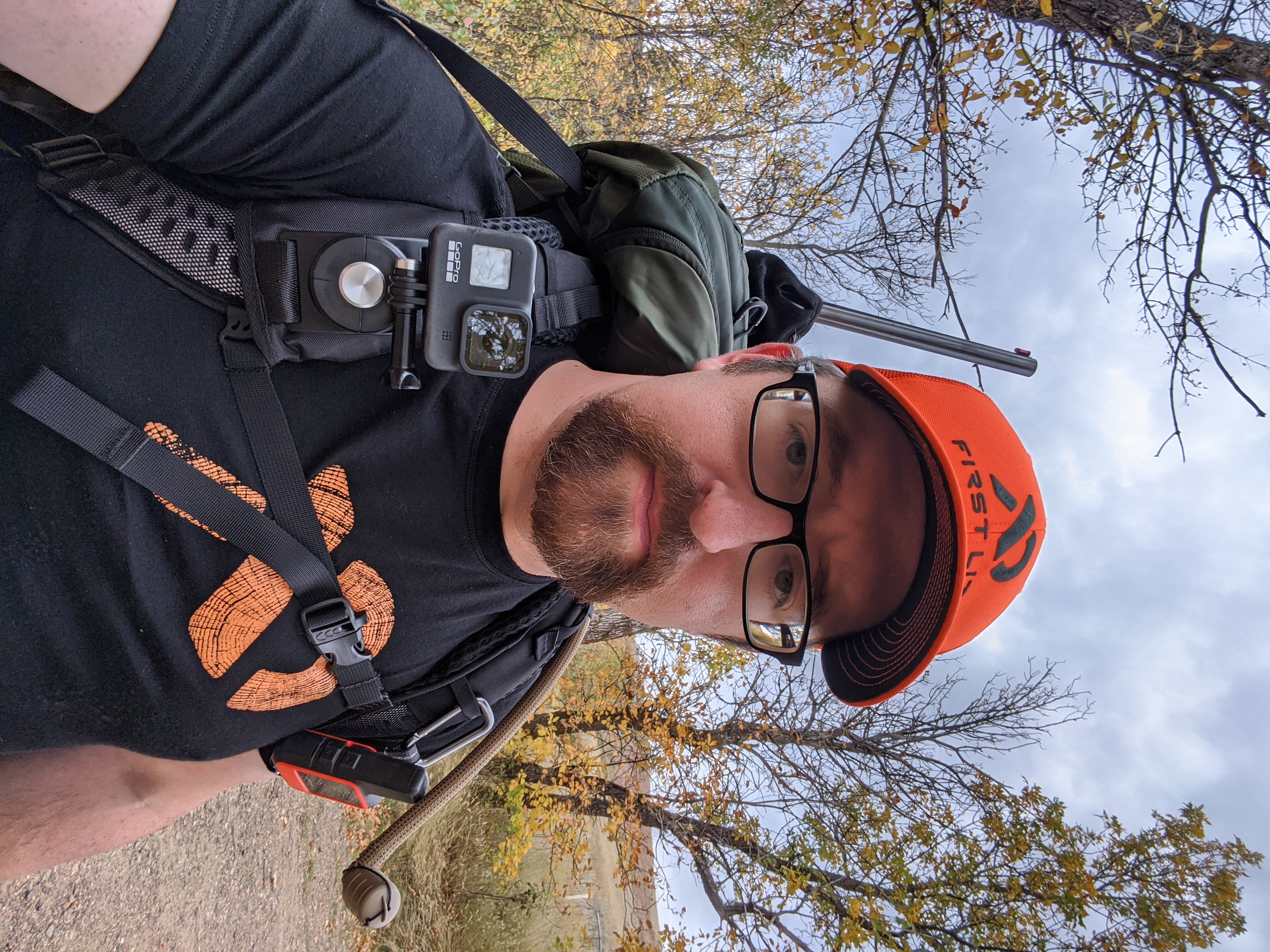
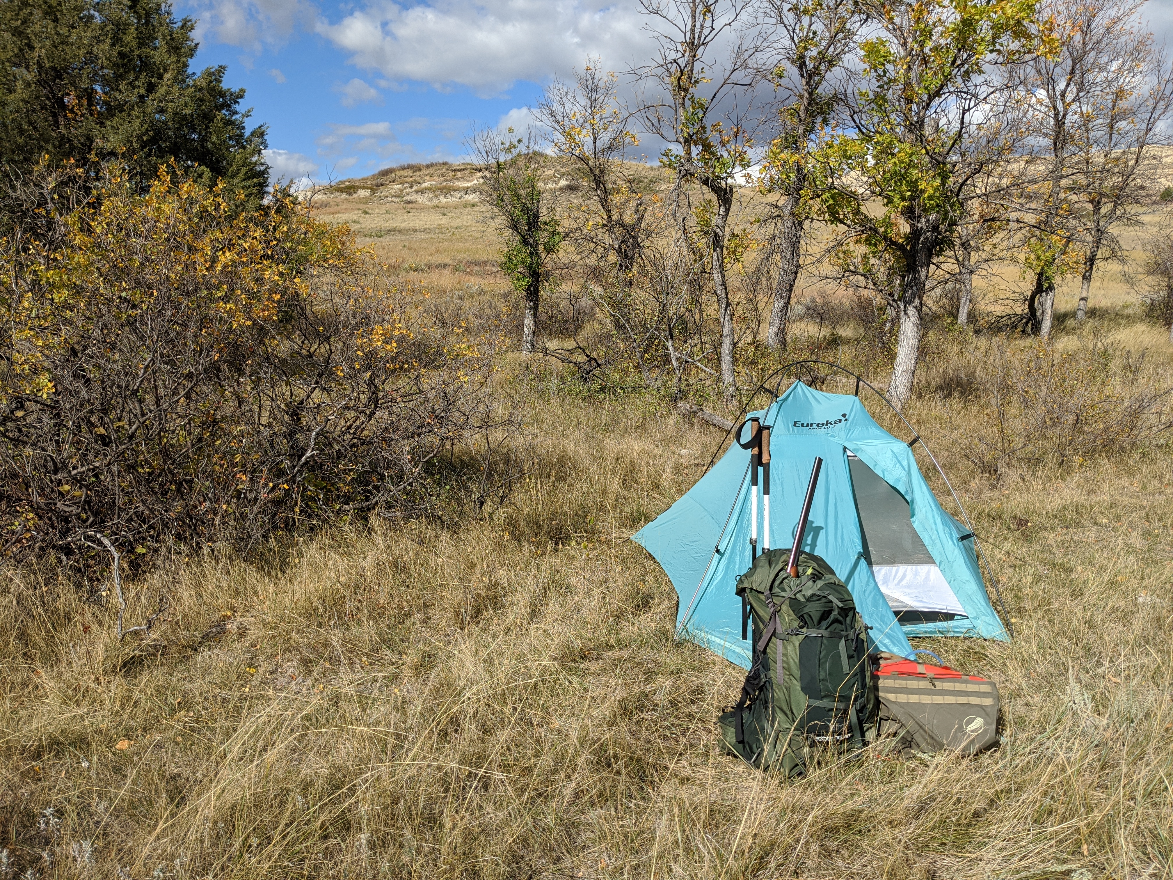
So we opened the first gate at the Burning Coal Vein Campground, the garage door coil spring sighed and we rode and strode through. I’ve done an awful lot of hiking, but I’m still new to backpacking. My backcountry hunting adventure started just last year in the 2019-20 season. This was only the second time I’d backcountry bird hunted. The plan was to surge as best as we could to each camp site and hunt the golden hour. This allowed us to travel during the heat of the day when the hunting would likely not be that good, and winds might be higher.
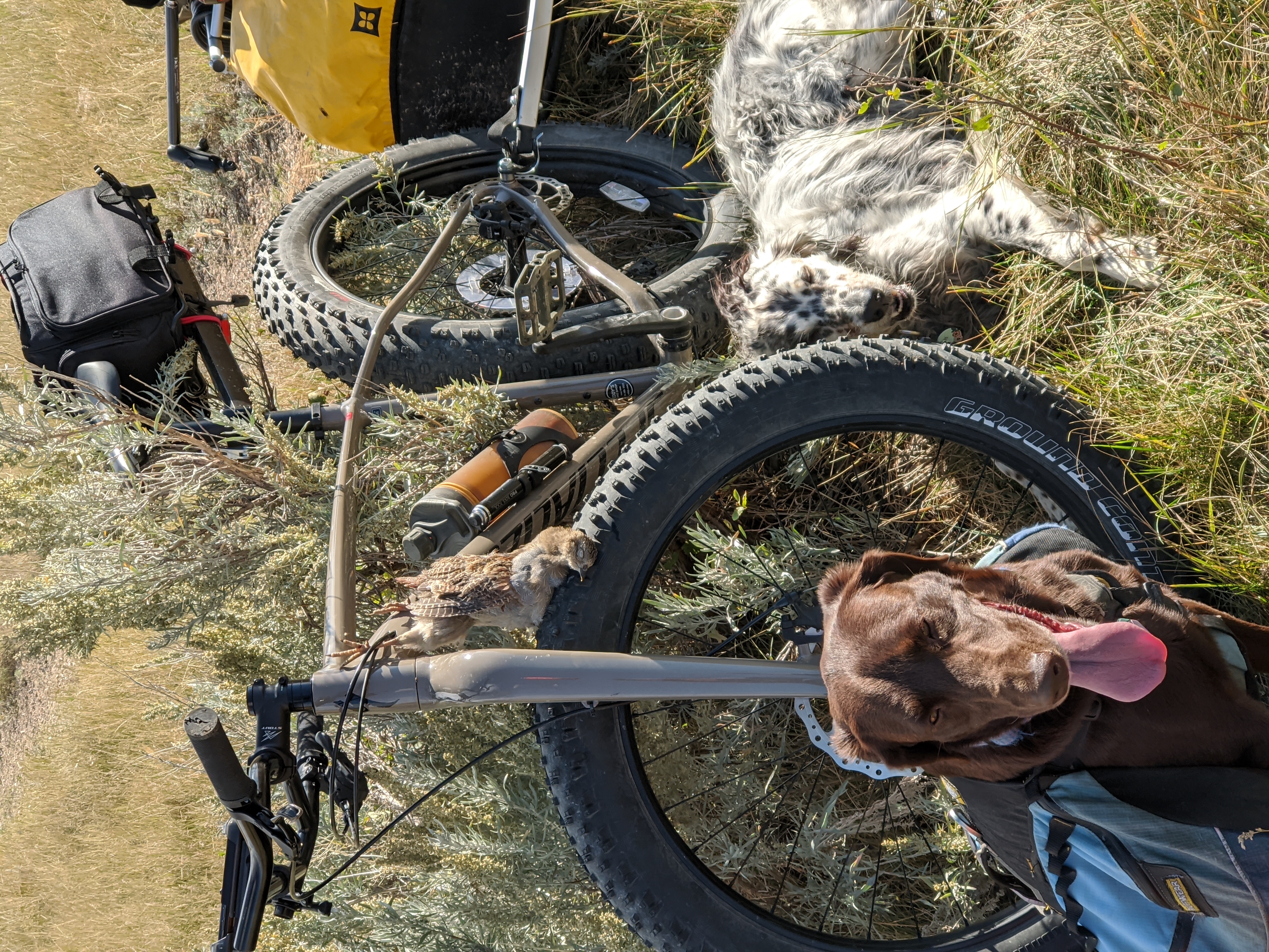
Brian had fashioned a sort of PVC scabbard for his shotgun that he could reach behind himself while mounted and draw his shotgun. I, on the other hand, had an Osprey bag not designed for hunting at all. My shotgun was wrapped in my wool outer layer and stuffed down along my spine.
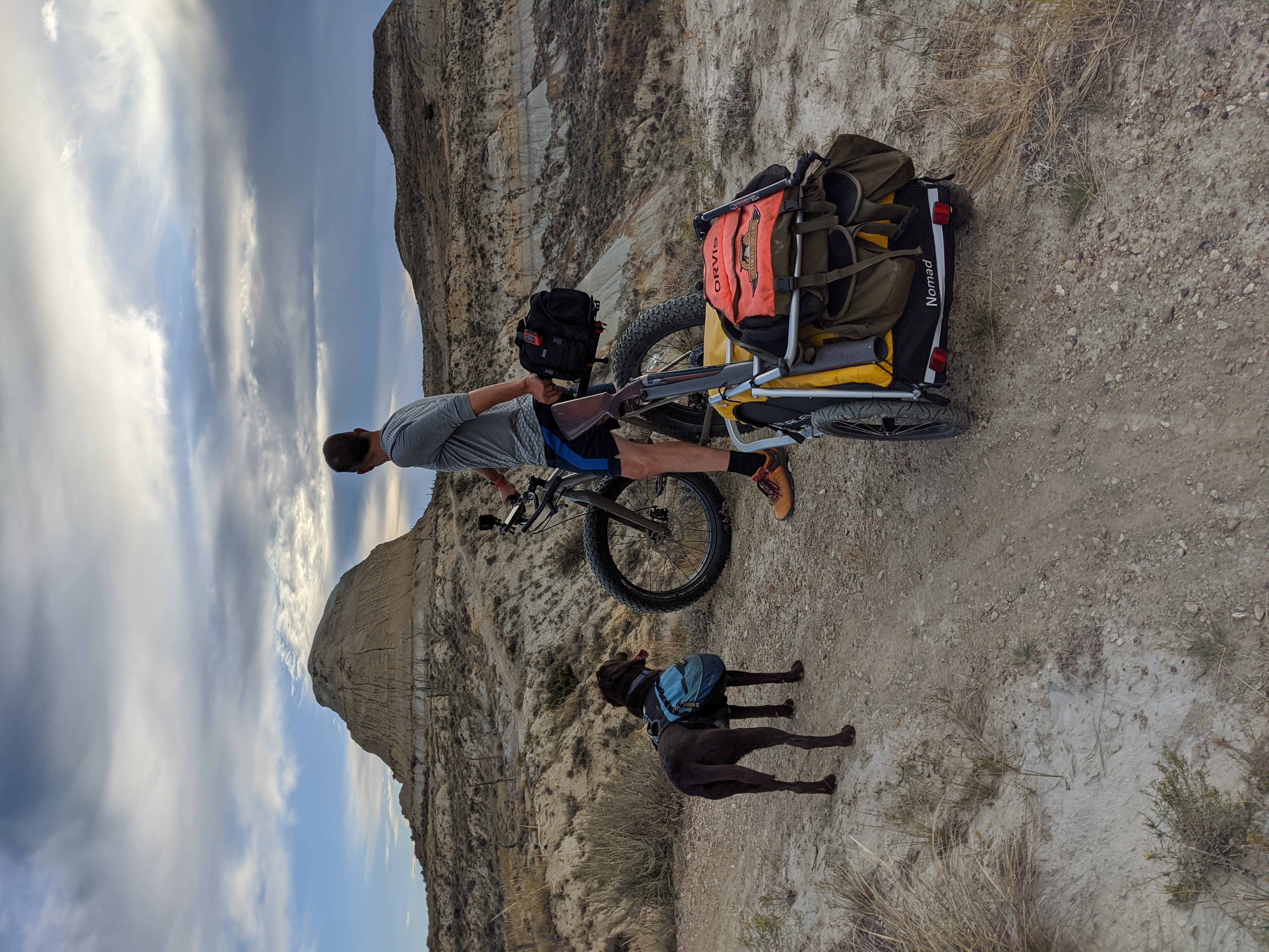
We could of course hunt opportunistically. Thankfully this year had allowed me to condition myself to hauling gear, and I was going to whine at least a little less while carrying a load. The first time a bird flushes while you’re on the trail, or the dogs lock up your lower back pain melts away anyway.
Day 2
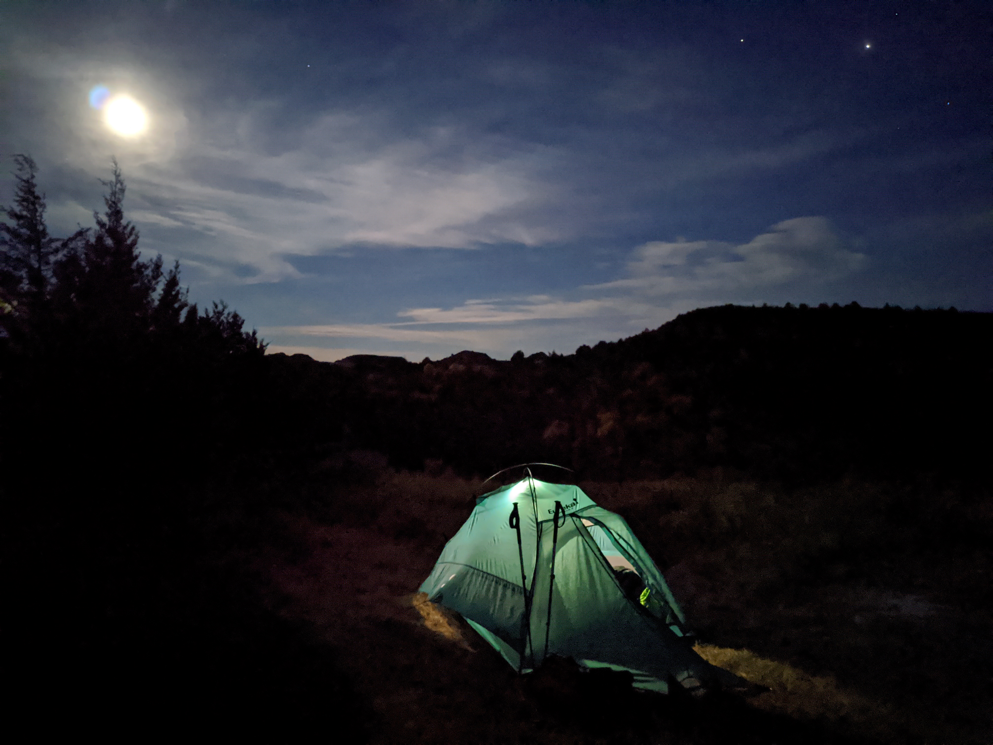
Sleeping the first night was a little rough. What I hadn’t anticipated was the choir of coyotes howling in the distance. Darkness in the wilderness makes everything a little spookier, but the rolling hills and the eerie calls of the coyotes echoing for hours added a soundtrack of the west I don’t hear often in the places I haunt.
We figured it would be about a 2 mile trip to water early the next morning. We waited until a little after six and heated some coffee. That and some travel water for us, and water for the dogs would be the last we’d have. Nothing until we reached the river.
Did I say two miles? Ever been on a trail somewhere and someone else asks how far to literally anywhere? The answer is “just a little further” pretty much regardless of the actual linear distance? That’s the trap we fell into. With switchbacks and trail reroutes it wasn’t entirely clear when we’d get to water. The map seemed to point to the fact that it was ‘just a little farther’ and measuring distance in OnX was no real help. We could get to an area where the topo said there’d been water, but when was that topographic basemap last updated? The 70’s? The 90’s? The Great Flood? Who really knew?
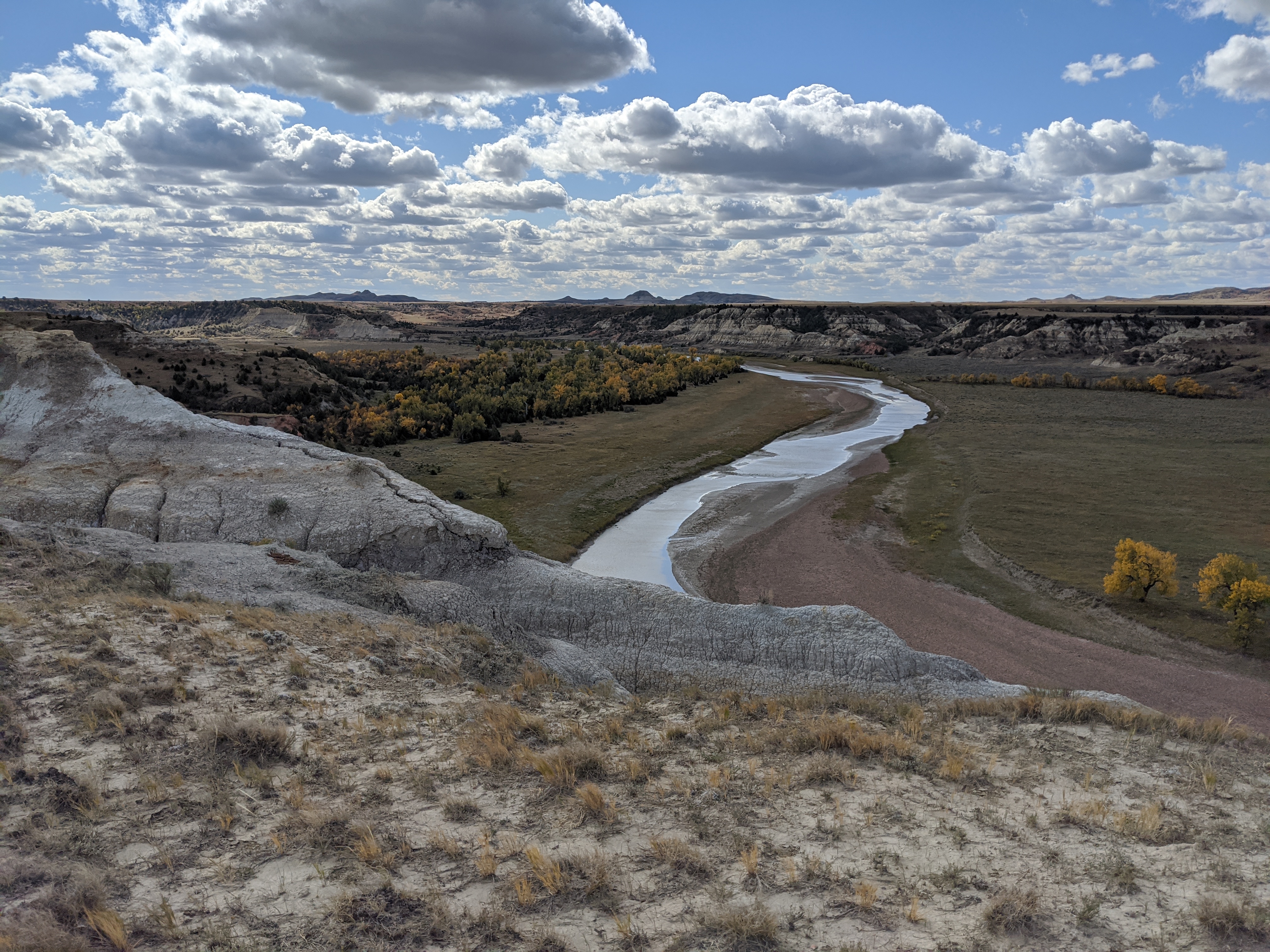
A River, A Doubt, and A Drought
It was about five miles more until we got to where we thought there’d be surface water at Tom’s Wash. Well, Tom is an asshole. There was no water so we made our way down the wash past some nasty cow wallows and some standing water from… I guess the last washout… to the Little Missouri River. What a welcome sight. Unfortunately we were 30 feet too high until we found a game trail down to the waters edge. We tested the mettle of our water filters, and probably pushed them to their limits with the chocolate brown water. But, it was still flowing. Flowing water was going to have to be good enough for us.
Six liters of water heavier I was able to walk back out of the river basin and was no longer in danger of running dry. We came back out of the river basin and ate a high calorie late lunch of packaroons, dates, and energy bars while thinking on our predicament. We weren’t quite to where we wanted to be for camp yet.
Contact!
I’m getting a little ahead of myself. Before we managed to get to water, with chapped lips and sandpaper tongues we finally encountered birds. We were in the process of winding our way down into the river valley when the dogs started getting birdy. It’s then that you have to make those decisions that come up nearly every backcountry hunt I’ve ever been on. Are we hunting, or are we hiking? We’re hunting.
Rio and Ida cut loose on some birds Brian had seen from the trail. Leaving birds to find birds is never really a great idea so we dropped packs and went light. We worked through some Western snowberry and some sage. Brian took a higher line and I edged the cover from below. Not long into our walk the dogs got fiercely birdy and the helicopter tails started working. Ida flushed a covey of four Huns with a late riser joining afterwards. Shots rang out and a single bird fell. After plenty of miles hiked this was the reward we were after. This is why we were here.
Brian and I likely tagged the same bird, if my 20 got purchase on it at all. Either way it was the first Hungarian Partridge I’d ever held. But soon after the excitement ended we had to get back to our gear and the trail. It was getting late and we still didn’t have any water. Back on the trail, and down to Tom’s Wash and the Little Missouri.
We cooked the hun for dinner over some forked sticks with a mature sage bough through its cavity. The wind was whipping up, so we didn’t build a camp fire. Instead we chose to sear the outside with the MSR stove. Caveman style, but the results didn’t lie. After a while though we feared we’d short ourselves fuel so we finished with a little steam session. Believe it or not it turned out moist and juicy with more than just a kiss of sage. Birds are always best when you’ve had to work for them. Having topped off on water, and eaten our first trail bird we felt good about the trip. Who knew what other birdy habitat we’d encounter?
Day 3
Waking up on the third day we knew we were on our way away from water sources. We were beginning the dry phase of the trip. Armed with the knowledge that every day from here on out a reliable water source had to be located, and we needed to be topped off.
Brian had located what he thought was a stock pond on the map, and I was going to keep an eye out for stock tanks along the route. We had satellite communicators so we didn’t really fear being split up. We split up, Scooby Doo style in search of clues for water. Apparently the stock pond was a mess, and the stock tank I’d passed was dry. However, at the Bear Creek trailhead there were two gallons of water over a month overdue from the drop dead date on them. That was something! We regrouped and met with a pair of bikepackers who seemed amused at our folly as we rested in the shade and metered our water. Their pace was much quicker than ours but they’d seen the trail ahead, so it was valuable intel to know that only the camps had water from here on out.
Trudging on we met a couple of folks on the trail riding horses, and it so happened they were parked at the same campground we were headed to. After they trailered their horses they offered us an opportunity to top off our water from their tank reserves. Jumping at the chance we watered the dogs and filled our hydration bladders. I don’t mind drinking horse water, I grew up drinking from a garden hose.
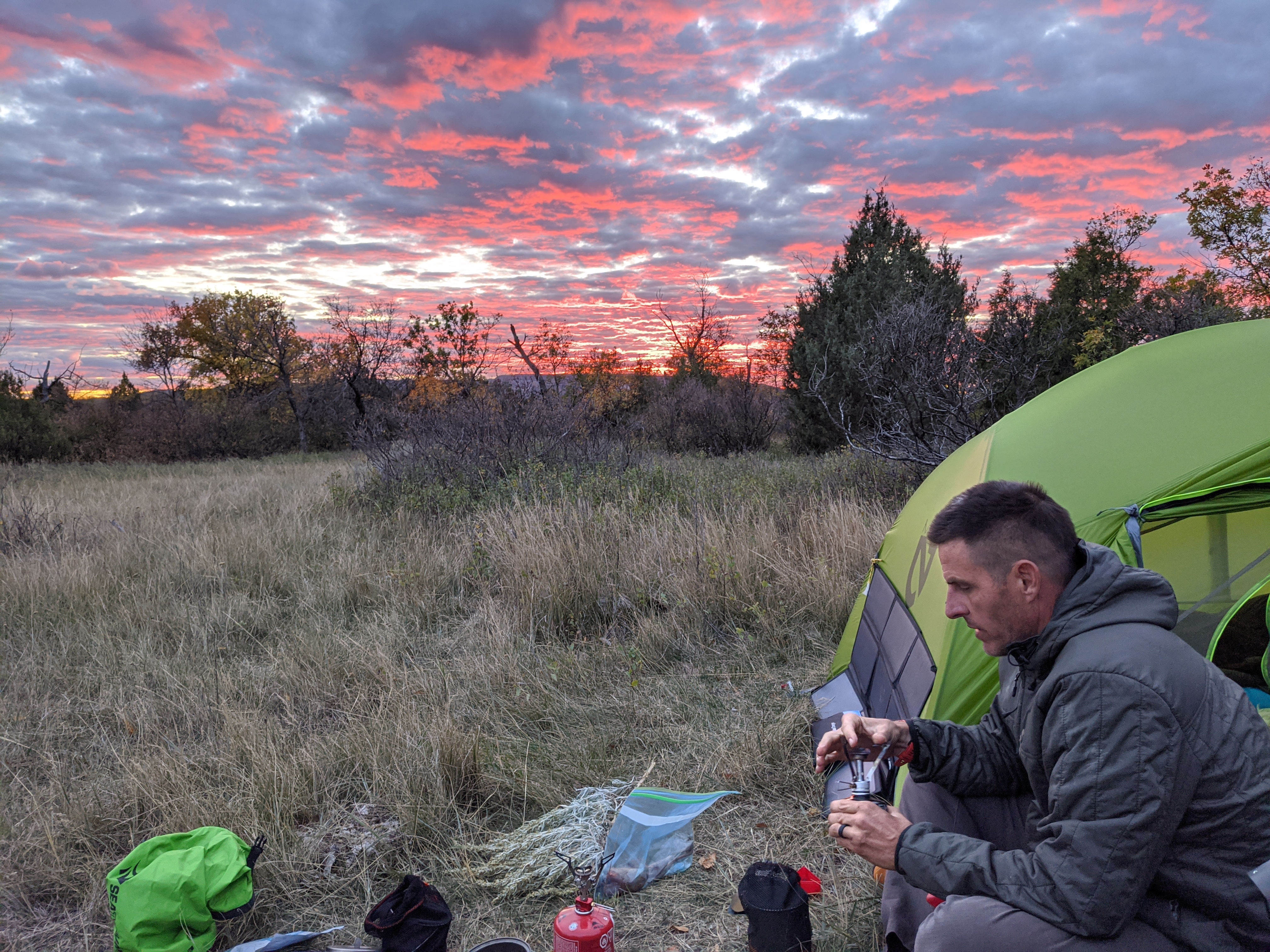
I spent the evening sipping MtnOps piña colada drink mix trying to stay hydrated while lounging in my tent. My legs were throbbing, but there was water here. I was going to drink every bit of water I could handle while at camp knowing there was a solar pump by the road.
Day 4, Last Stop for Water
In the morning at Coal Creek we woke and took our time breaking camp. It was going to be another long hot day ahead of us. We looked at the map over and over again, we agonized over the water situation. Tom’s Wash was dry, Coal Creek was dry, the Little Missouri River was going to be farther away after Plumely Draw. It looked increasingly likely that we wouldn’t have enough water for both us and the dogs. I had the ability to carry 6 liters on me, so I did exactly that. From the solar pump at the top of camp.
However, it was sixteen miles to the truck. I don’t think we knew that at the time. I believe we thought it to only be ten. From here we still had the potential for one more trail day, and a rest day. We wanted to make sure to get to the truck by day 5, which would allow Brian to keep his schedule for the remainder of the trip and he’d have access to my truck to pick up supplies.
Bailing Out
It became clear to us that the heat wouldn’t abate, and that creeks were awfully dry despite it being the end of September. Stock tanks were around but not reliably turned on, and those that were looked a little bit gross. Stock ponds were muddy and would cake up our only pants with mud after wading in knee deep. It was a mess.
We pushed on and made it to the Plumley Draw Trailhead just after mile marker 33 on the trail. As I rounded the bend, huffing and puffing I flushed some birds. Damn. Those were definitely game birds. We regrouped at the trailhead with plans to bail out and to hitch a ride back to my truck, but first we needed to chase down some birds.
We dropped our packs and parked the bike for one last assault on a hillside covered in juniper and small prickly berry bushes. I’m not sure I was hydrated enough to sweat any more, but the thunder of bird wings dumped more adrenaline into my system and we gave chase. Unfortunately, as birds often do in this habitat we watched them sail off into the next county. We made a few more pushes to try but wound up walking back to our gear at the trailhead in not too long. When ‘just over that draw’ looked like another quarter mile or more, we gave up.
After all that, my legs felt like Jello day after day of hiking on low water intake — and while my paper map said we’d only hiked 33 miles my GPS told me otherwise. We’d defeated the Maah Daah Hey trail, or at least a portion of it, but the lack of water had defeated us. Officially nearly 12 more miles lay between us and my truck at Bully Pulpit Trailhead. Either one more day of walking with no cache in between, or two more days with no water on the map at all. Neither were really a good option.
Hitchin’ A Ride
In the parking lot an older lady was putting her mountain bike back into her Sprinter van. Brian and I noticed pointing dog stickers and Great Lakes stickers. I’d hoped my Pennsylvania charm could win a trip back to my truck. After all, at this point everyone else we’d met on the trail had been very nice to us.
We exchanged pleasantries and it turned out that indeed her husband was a big bird hunter. I was able to get a ride and apologized for the days of trail stink. We kicked up North Dakota peanut dust in the rearview and took a circuitous route past oil rigs and rolling hills back to Bully Pulpit. I thanked her and fired up the truck, happy to be off trail and even happier to get some Gatorade and air conditioning. I rolled back to Plumley Draw and picked up the gear, Brian, and the dogs.
A New Base Camp
We had to establish a new camp while we still had some daylight. Brian agonized over it some, we didn’t want to sacrifice trail miles — he did after all want to complete the Maah Daah Hey trail on his bike. Sully Creek Campground was just down from Bully Pulpit, which was our original bailout point. We managed to snag the last of the primitive campsites in the loop. It was weird, seemingly every site was reserved but nearly no one was here. Was this some sort of relic of the pandemic at this point? Had so many people just up and cancelled their vacations but not their reservations?
No matter. We were off trail, had a safe place to sleep, and access to real food once we drove into town. We cleaned up, stowed dogs, and went into town to destroy a pizza apiece at the local saloon.
From our new base camp we decided to drive around and do some hunting while resting up. We weren’t looking to do any more 10-12 mile days, but we did still want to do some hunting. Brian had a schedule to stick to in order to complete his trip, and we needed to modify his caching plan and stow additional water based on the high heat and the arid climate.
My Journey Ends
Brian continued on, checking in over satellite messenger and text when he could. Thankfully the folks we met in North Dakota were kind — he needed rescued at one point on the trail. All of the footage he captured during the journey will be edited down into season two of Way Upland. Check out the trailer below.
| Do It Yourself Hunt |
|---|
| This hunt was epic, it was long, it was grueling. It was challenging in all the right ways. Most importantly it was done by us, we were our only support crew (other than a shuttle). This was a DIY bird hunt that had extremely low costs with an extremely high fun factor. I detailed the logistics required for my backpacking portion in Maah Daah Hey Trip Logistics. |