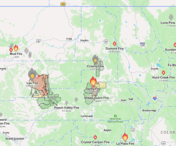
A while back we released a fishing map of Pennsylvania’s Class A Trout Streams. Class A in PA means that the streams support wild reproduction and meet a biologist’s meter stick for being wild. In Colorado we also have a little something like that. But like out mountains being almost 10,000 feet taller at their tallest, Gold Medal fishing streams are even more intense than those back east,
Gold Medal Fishing in Colorado
Colorado defines Gold Medal fishing lakes and streams as producing 60lbs of standing stock per acre with at least twelve of those trout going 14″ or more in said acre. A little over 320 miles of rivers and streams in Colorado and three lakes carry the Gold Medal designation. Further, CPW can only designate publicly accessible waters as Gold Medal. This makes them perfect places to plan your next outing around.
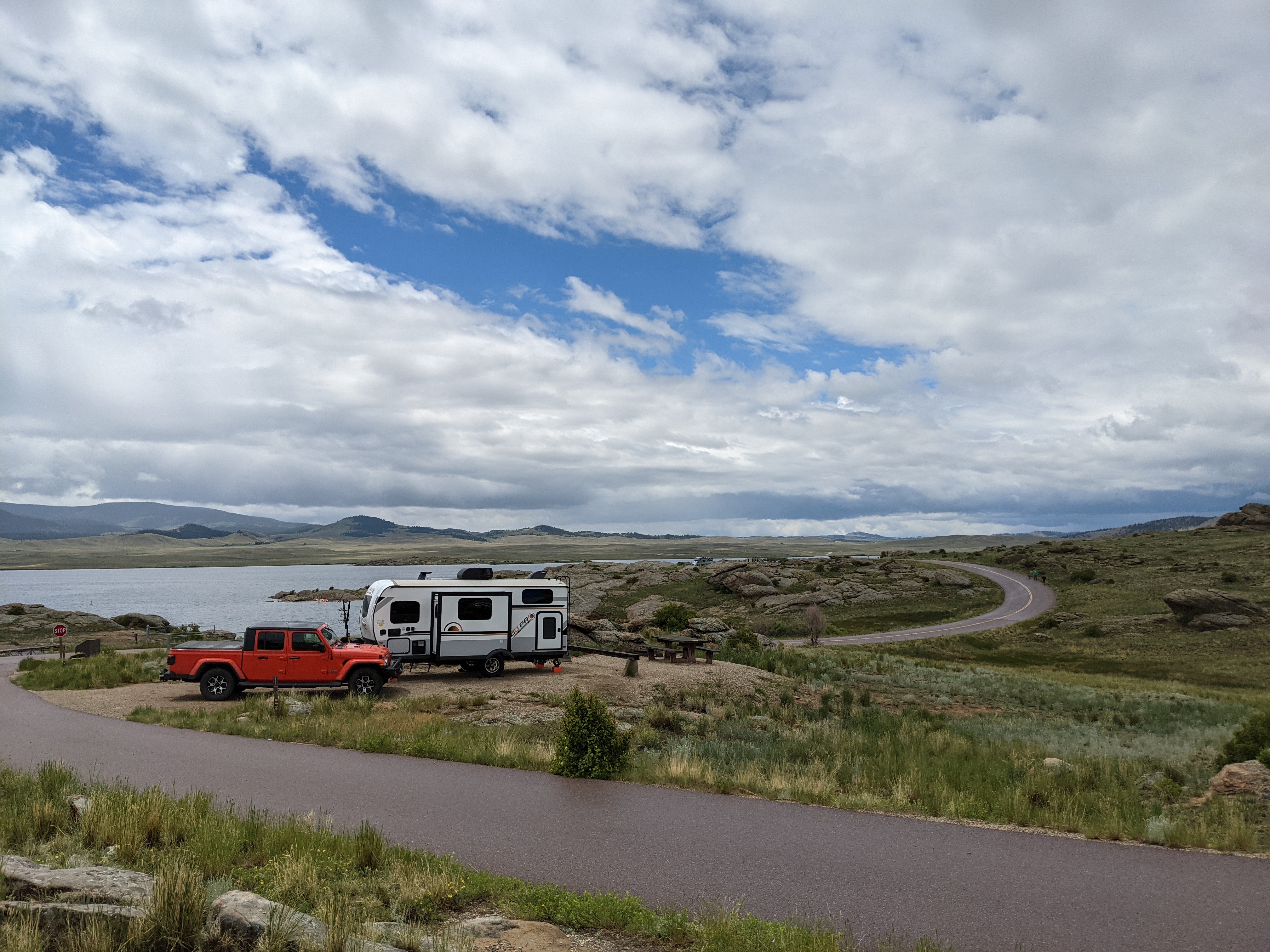
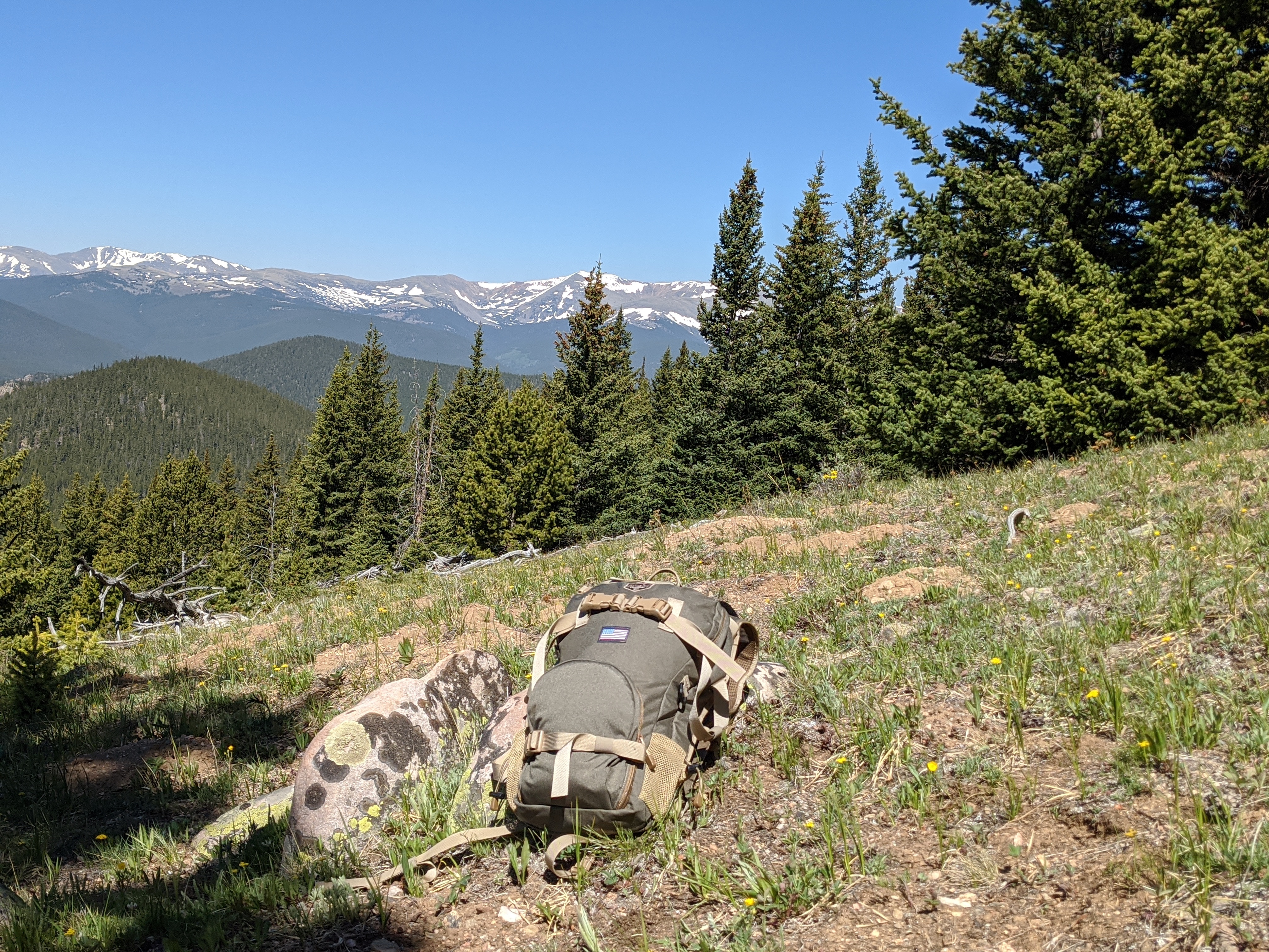
We’ve put together this map to help you plan an adventure. Be it a day trip or a dirt road caravan spot hopping and camping along the way.
Features
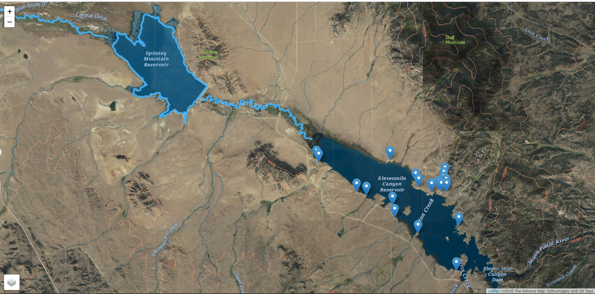
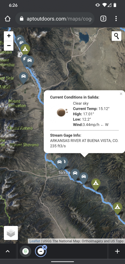
Of course the map calls out all of the Colorado Parks and Wildlife designated Colorado Gold Medal fishing waters. It also has points of interest for fishing access parking lots as well as camp sites throughout the state. The camping and parking areas are toggle-able layers by clicking the gear on the bottom left of your screen.
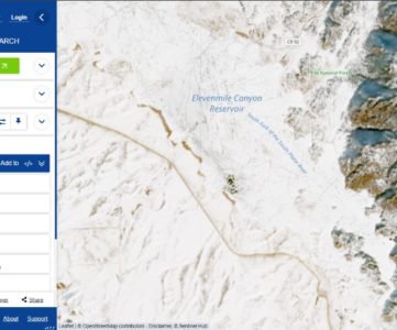
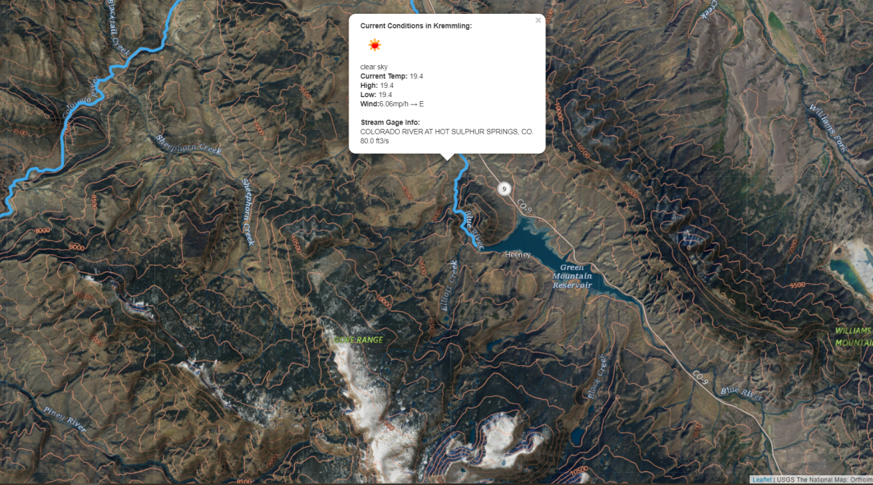
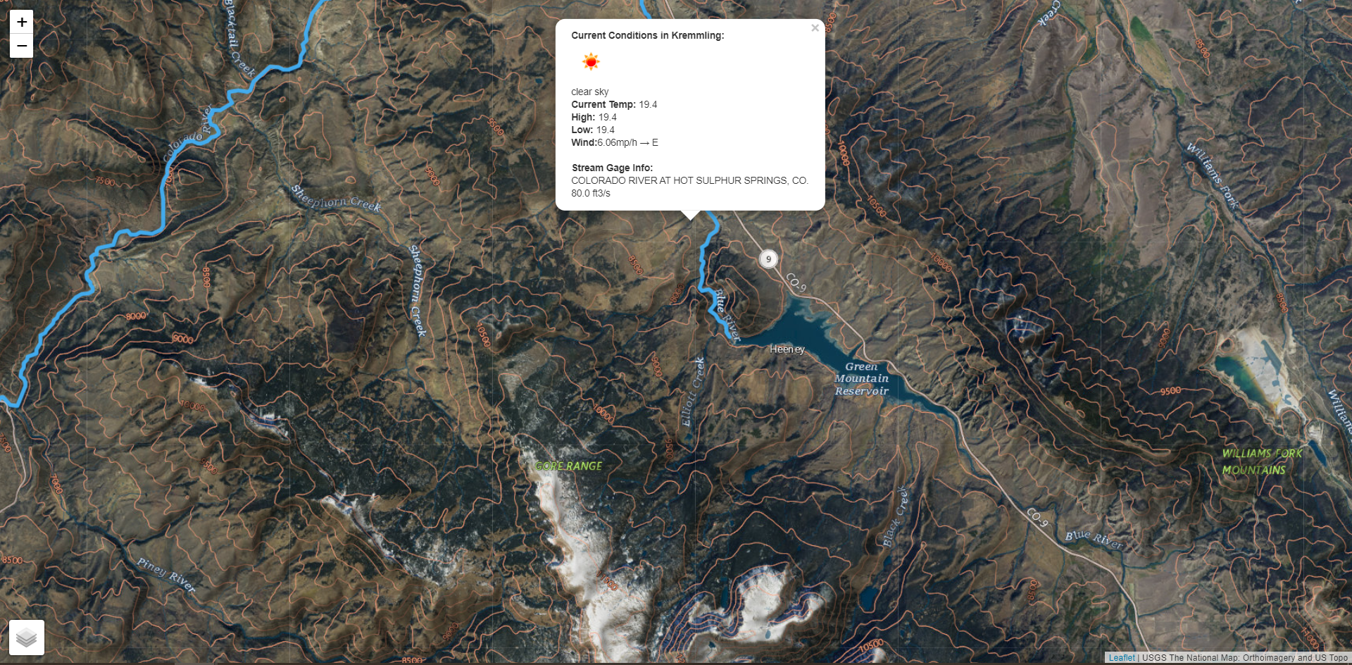
Clicking anywhere on the map will search for local weather conditions and the closest streamgage. The data can be a little wonky on them, so I do some filtering on the backend in code. Querying streamgage data allows you to get a good idea as to the current flows of the river or stream before planning a trip. Anything between 100 cf/s to 200 cf/s can generally be considered safe for fly fishing depending on stream size. Flow is measured in cubic feet per second.
From any campground, stream access point, or any point on the map you can click and get driving directions provided by Google Maps. This will help you navigate to your next adventure!
Mobile Friendly
With the Colorado Gold Medal Fishing map being based on LeafletJS the map is inherently mobile friendly. Pinch to zoom in, flare to zoom out. Everything should just work in the ways that you expect them to.
Try It Out
The new map isn’t perfect. We query streamgage data based on where you clicked and create a small box around it. You won’t always get the exact stream you’re looking for, but there aren’t a million sensors out there to query from either. I’d like to thank USGS for making this data available.
So please, go ahead and try out the Colorado Gold Medal Fishing map and see how you like it. We’d love to get your feedback on what you like, what you don’t, and how we could improve it to be more useful in planning your next streamside adventure.