If you’re reading this, you might have stumbled onto one of my many custom MapBox or Leaflet enabled web maps. Recently MapBox updated one of the APIs that we’re using to display satellite mapping imagery to enhance our understanding of the data I’m trying to present. I have to go through and fix some of the code in the maps, so it might take some time for them to look ‘right’ again.
For a temporary fix to the maps you may select a different background layer by clicking the layer button (the ‘hamburger’ or stacked pieces of paper in the corner). USGS Imagery Topo Overlay is one of the better options for displaying our data to you in a way that doesn’t looked too cluttered. We’ll be working on fixing the code incrementally over the next few weeks for our various maps, so just keep this work around in mind.
APTOutdoors Custom Mapping Products
- Pennsylvania Class A Trout Streams
- Colorado Gold Medal Trout Fishing
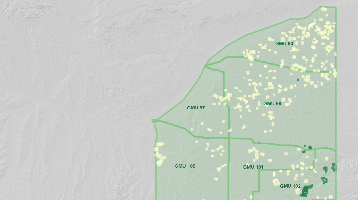
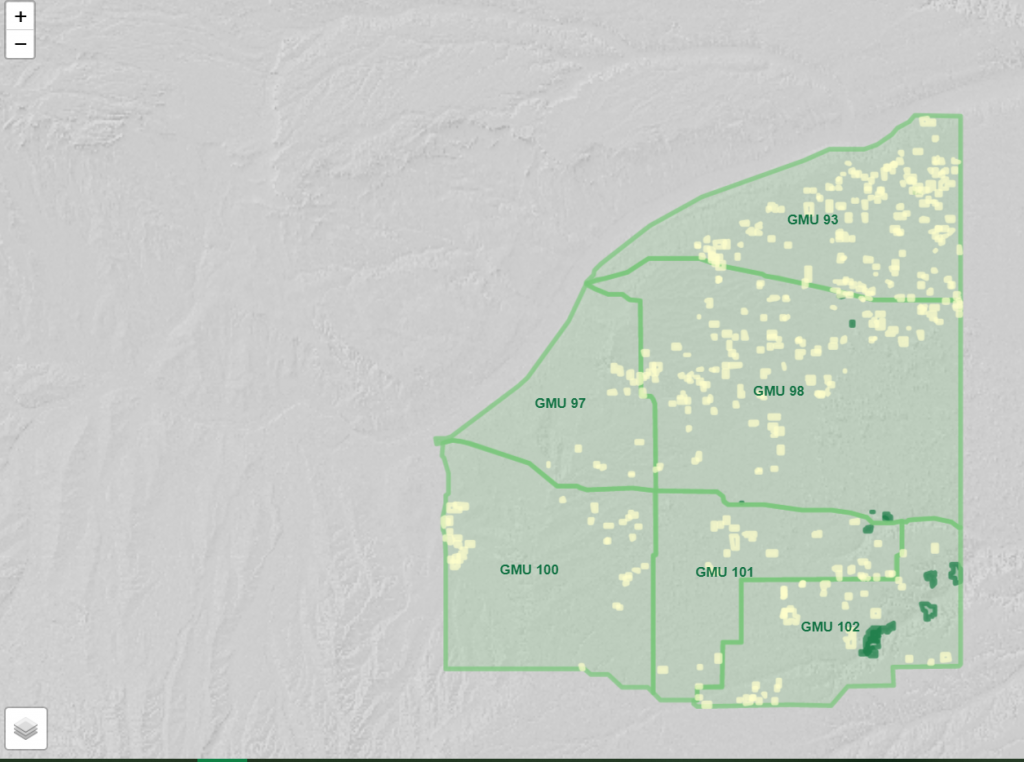
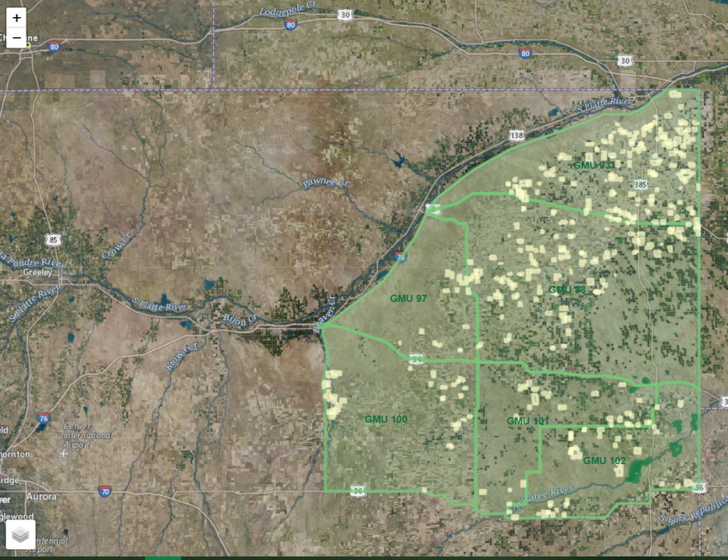
- Colorado OTC Turkey GMUs Map
- Colorado Prairie Chicken Hunting GMUs