It’s been a long summer already, and a hot one. So when it was forecasted to be in the mid 90’s in early July I did what you probably figured I’d do. Find the most exposed summit in the Cache La Poudre Wilderness and hike as far away from the cooling pools of greenish water of the Poudre River below.
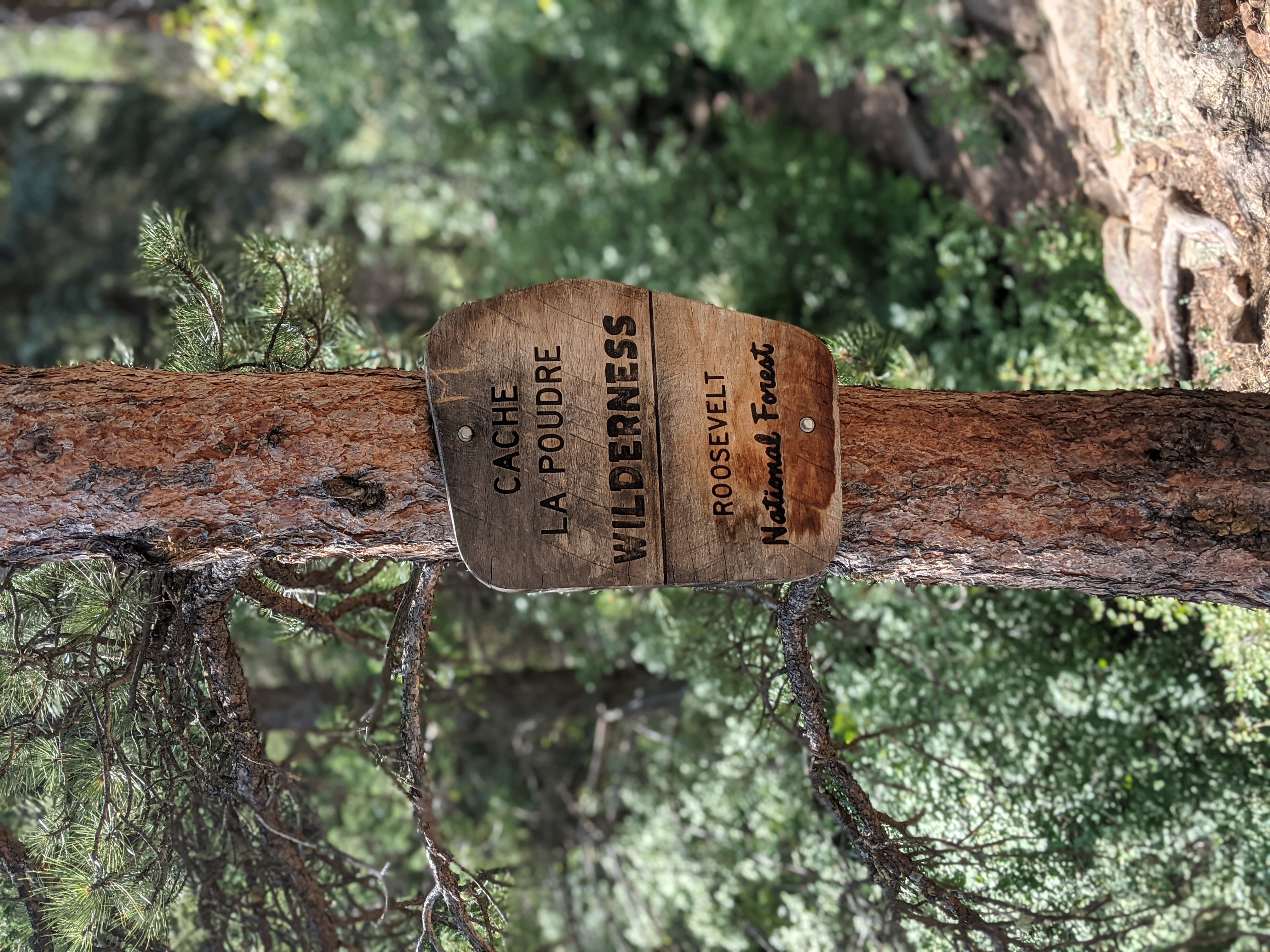
The Cache La Poudre Wilderness was designated in 1980 and consists of 9,484 acres of public land. Consequently the Cache La Poudre River drainage in this area also maintains a Wild and Scenic River designation, the only one in the state of Colorado! This makes the larger chunk of land and water particularly rugged and undeveloped.
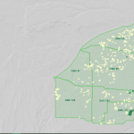
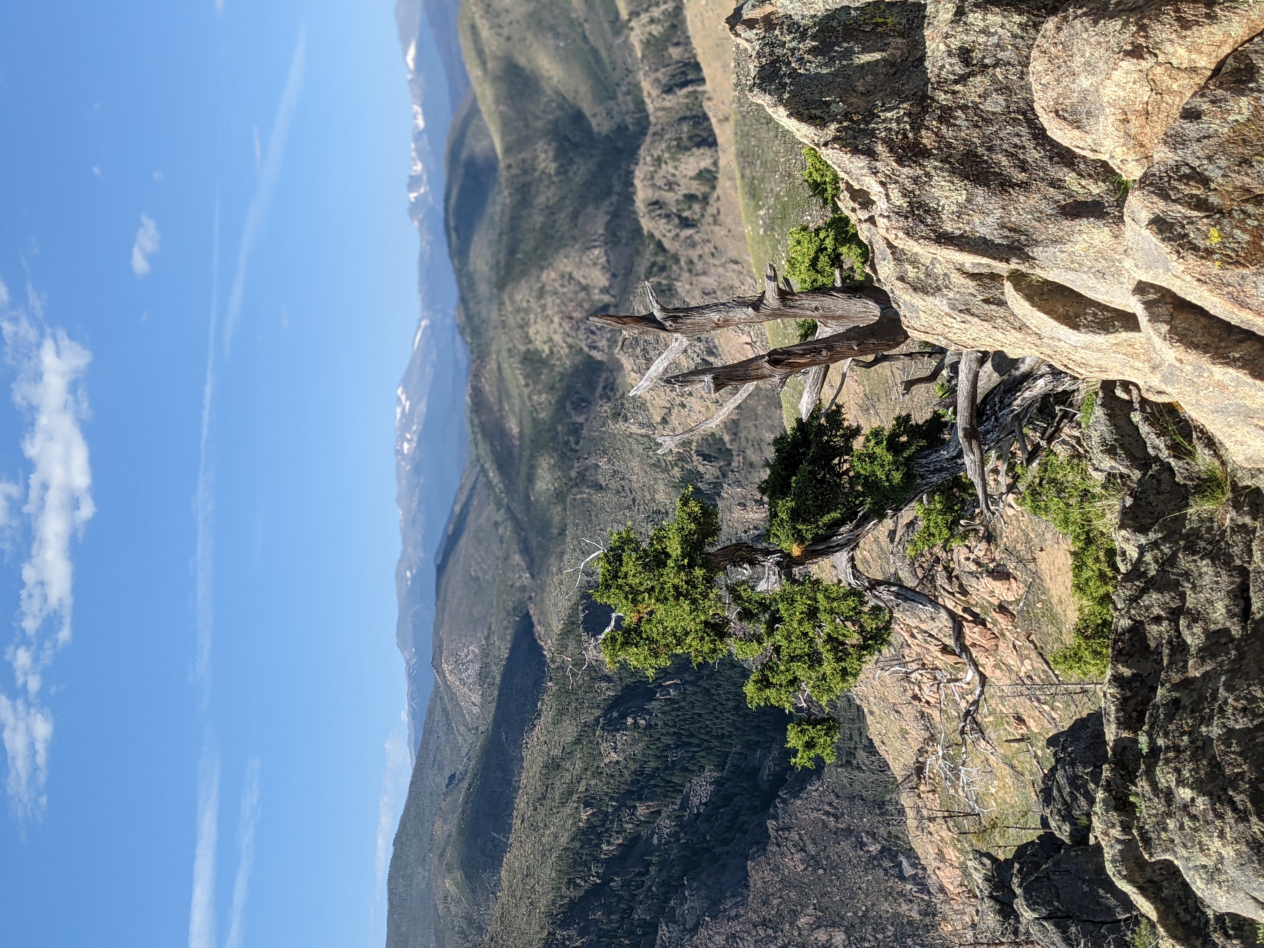
Despite most of the other federally designated Wilderness areas in Colorado being much higher in elevation, this one tops out at 8600 feet above the burbling river that forms it’s northern border. That summit at the top of the wilderness is Mt McConnel, and while not a 14er, or a 13er — or even a 5 digit summit is still formidable when you take into account the whole Wilderness Area has only one trail cut into it.
Thankfully that trail, which forms a lollypop loop around the summit isn’t terribly difficult. That is, if you ascend using the somewhat improved trail up, and descend using the primitive trail on the North East side. The primitive trail is steep when descending back into the canyon, but if you have some trekking poles you’ll manage just fine. It clocks in at 4.2 miles round trip with 1400 feet of elevation gain. That does mean it is steep on either end. But the mile in the middle is quite gentle at the top and the views are worth the work.
Disturbance and Growth
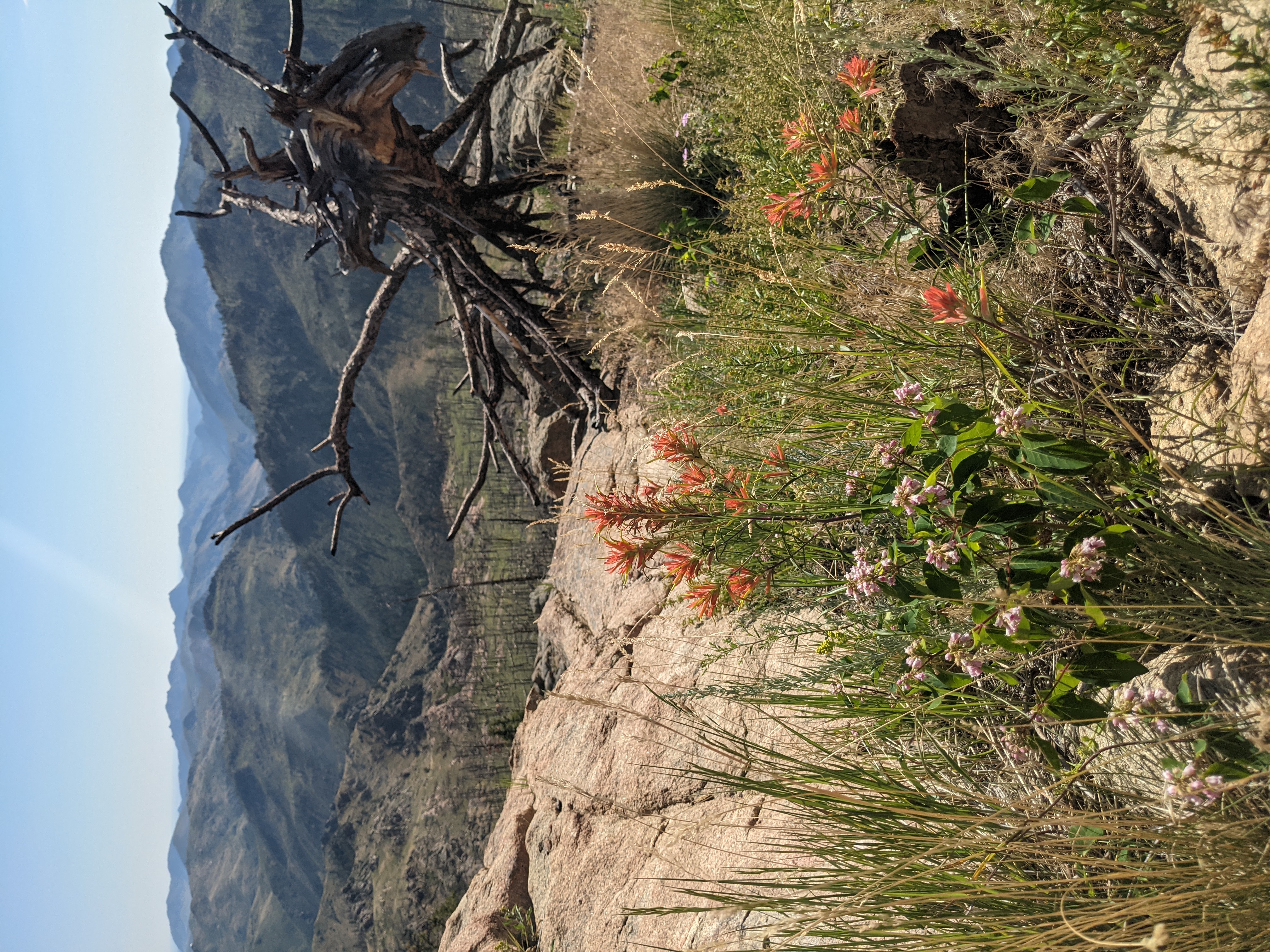
The Cache La Poudre canyon was not so long ago, on fire. In 2012 the High Park Fire ripped through the canyon west of Fort Collins, having started from a lightning strike. The burn encompassed a little over 87,000 acres and took out a fair amount of trees and shrubbery. At the time of the burn it was the second largest in Colorado state history. Unfortunately with recent events new fires in the last decade have moved it even further down the list.
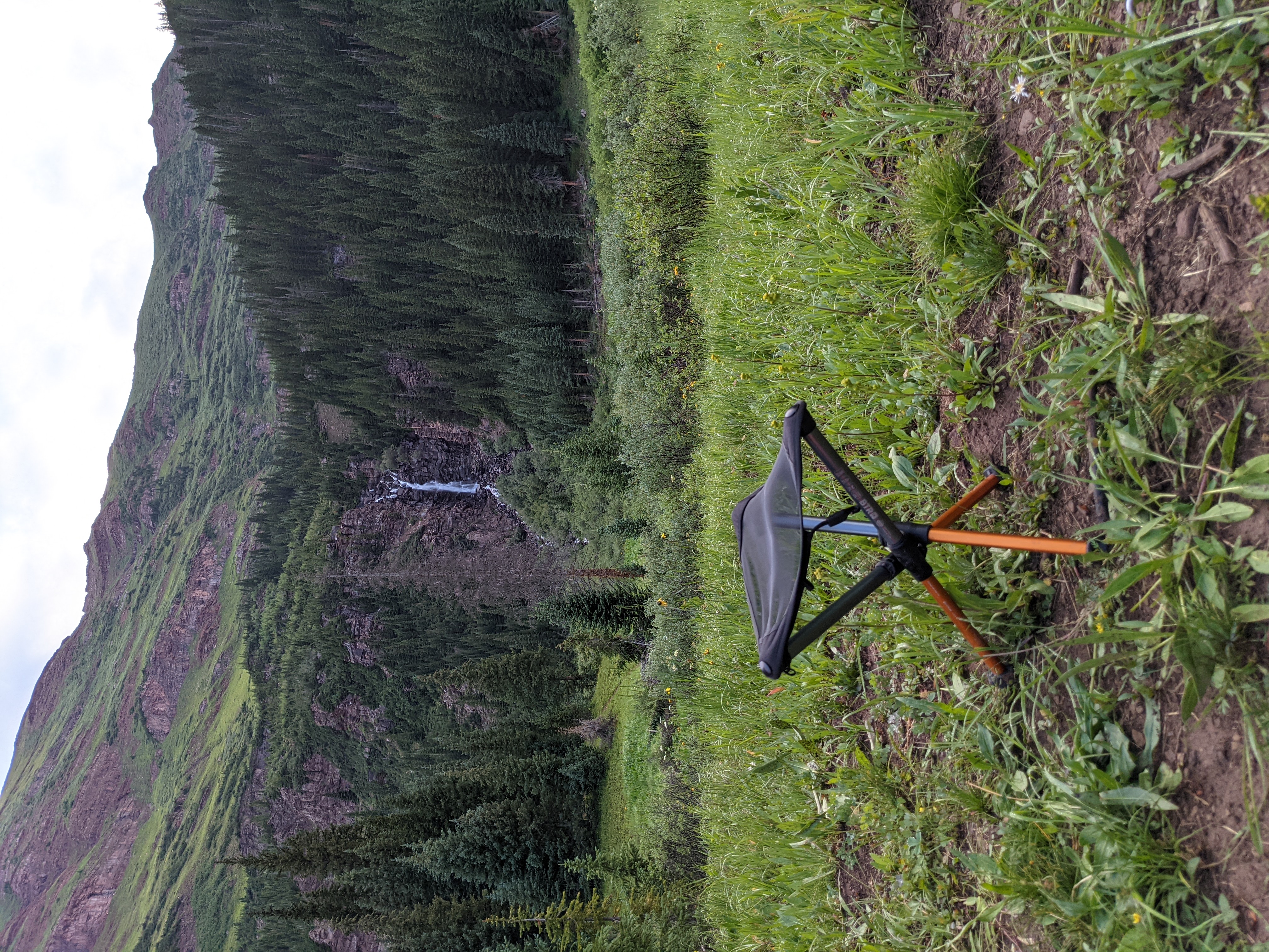
Fortunately the area has sprung back with a vengeance. When an area is disturbed in this way and the fire doesn’t get so hot as to completely desolate the topsoil, early successional growth can come back. Here the wildflowers are blooming in full force, from Indian Paintbrush, to Fireweed, and Stonecrop. It was a sight to behold. Further, it also means that eventually large critters will be back on the landscape. Fresh green up is good for the elk, moose, and mule deer that call this area home. In the mean time it’s just as well for the smaller mammals and birds that can make immediate use of the new growth. Here predators like coyotes and prey like rabbits can thrive on this newly manipulated landscape.
Getting There
The trailhead for the only trail in the Cache La Poudre Wilderness begins at the Mt McConnel Trailhead [GPS: 40.68318,-105.46446] adjacent to the Mountain Park Picnic Area. Parking there is $7, but the nice couple collecting fees asserted that day hikers should be able to use the spots for free. I got a refund but normally it’s an unattended pay into an envelope style system.
Coming in from Denver or Fort Collins you’re going to take one of the most scenic drives in Colorado on CO14. If you’re an angler, try not to throw your car into the drink as you ogle pools full of trout all the way up. It’s 37 miles of windy twisty canyon road from the entry point to CO14, keep your eyes peeled for a nice camping spot along the river.
Other Activities in the Cache La Poudre Wilderness
I’d be remiss if I didn’t mention the excellent fishing in the Cache La Poudre Wilderness. While at the edge of the Wilderness itself you can see the powerful river below you. In those pools many anglers try their hand at catching trout that hide among the rocky bottom. The regulations are varied in the area, so be sure to check out the CPW regulations and have your license handy.
There are many campgrounds along the Cache La Poudre River administered by the US Forest Service with friendly campground hosts that can serve as an excellent base camp as you explore the area. All USFS Campgrounds are listed on the Recreation.gov website but may require reservations to be on a first come first serve basis. There’s just over 100 miles of CO14 that goes through the canyon, so there’s lots to explore and see.
Resources
- Wilderness.net Entry for Cache La Poudre Wilderness Area
- USFS Information
- Mount McConnel Trail (#992) Kreutzer Nature Trail
- High Park Fire Wikipedia Page
- Coloradan Article on the High Park Fire and a look back at damages done
| Why am I doing this? I’m on a quest to hike, camp, hunt, or fish on all of Colorado’s federally designated Wilderness Areas. Check out all the articles here! |