I spend a lot of time cyberscouting on Google Earth looking for my next great public lands spot. Sometimes it’s a new field to sit on for turkeys, sometimes it’s trying to see if a lake is worth the hike from the road. When you’re staring at a map zoom levels can fill you with a false sense of confidence. “Oh, it’s not that far” you say to yourself as you have the map zoomed way out. Maybe you’re not even scouting but planning some habitat management on property you already own or are looking to buy.
Being able to measure from maps should be easy, and in Google Earth, it is. So for today’s quick cyberscouting pro-tip let’s fire up Google Earth. If you don’t already have it, you can download it here.
Measuring Acrage from a Polygon
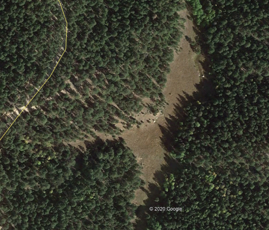
Now let’s find a terrain feature we’re looking to measure. In my case I had a field I was curious about, trying to get a mental gasp at how much land I was really looking at. Would I be able to cover all of it, would it be too small? It’s got a small drainage going through it, and all of my other research says it should be a decent area to hunt for turkeys.
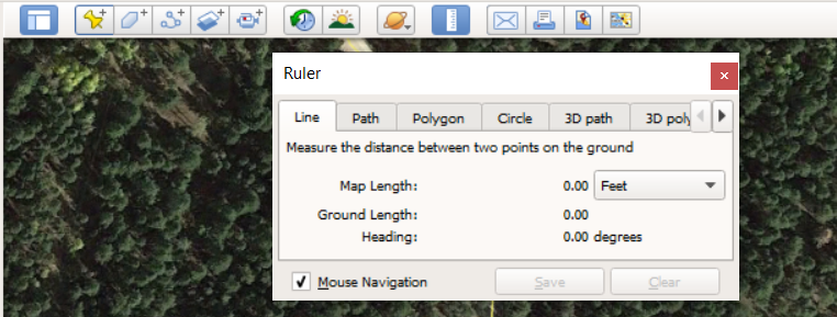
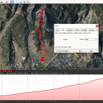
On the top menu bar of Google Earth select the Ruler icon, shown below. A dialog box will appear, select the Polygon tab since we’re going to measure a field.
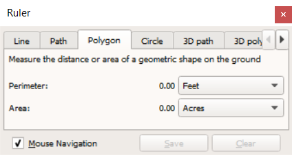
Switching to the Polygon tab will give you two measurements, the perimeter and area. The perimeter dimension is great if you’re looking to fence off a piece of your property, but here the area is what we’re after.
The mouse cursor will turn into a squared crosshair and allow you to drop points all around the field edge in a free form way — it turns out nature doesn’t really do 90 degree edges.
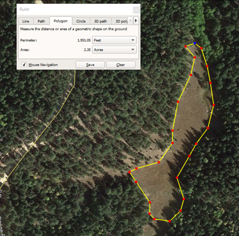
As you’re forming the polygon by dropping points Google Earth is live updating the perimeter and area of the polygon. It’s as simple as that! From here you can save the polygon to My Places in Google Earth to use it later, or simply clear it and measure something else.
Scouting in Action
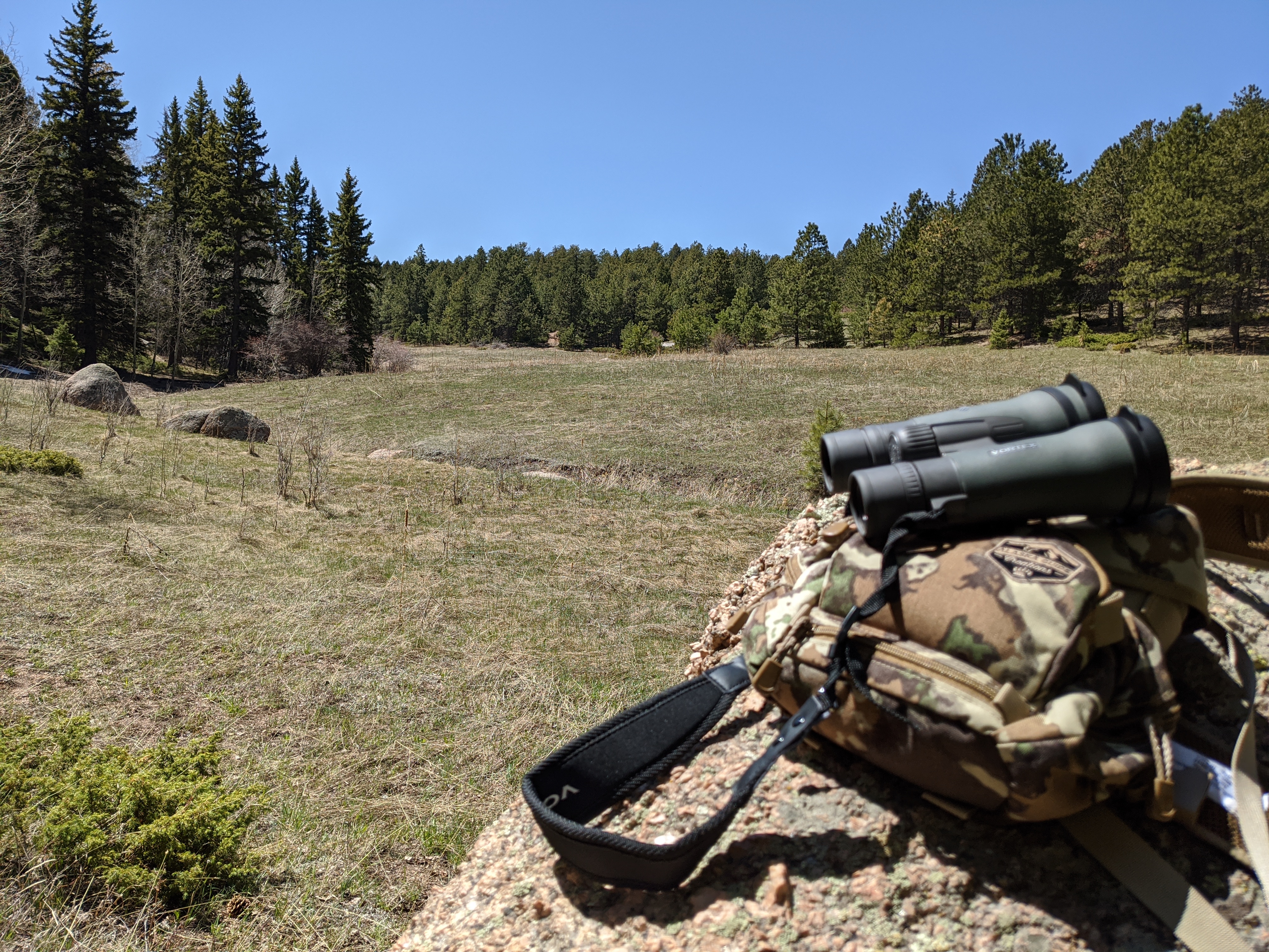
Remember that cyberscouting absolutely can’t replace no-kidding boots on the ground experience. It can weed out a lot of “bad” places, but in order to really get a feel for an area you need to go to it. So we went out and took a look in person at the field. It was a hike in from a closed Forest Service Road. Getting to the trailhead early ensures you’re the first person in… The walk wasn’t terrible, but definitely wasn’t something I’d anticipated giving my current status as a stay-at-home couch potato.
Once I reached the field and saw the sun illuminate it, I realized it was a solid area to put on a little hunt for turkeys.
Other Uses
Use this technique to measure ponds, set aside polygons for property management — where to log, where to put in a new terrain feature, check out existing food plots for how much seed you need to buy, and more. I’ve found it to be an easy scouting tool in my toolbox, and hope you do too.
Here at APT Outdoors we love to cyber-scout and use various data sources to investigate new hunting locales and better inform our decisions on where to hunt next. If that interests you, you should check out our Maps for Lunatics page!


[…] « Previous Story […]
[…] the field that we measured in our other cyberscouting protip? This is the same mountain field and how the sun angles in during […]