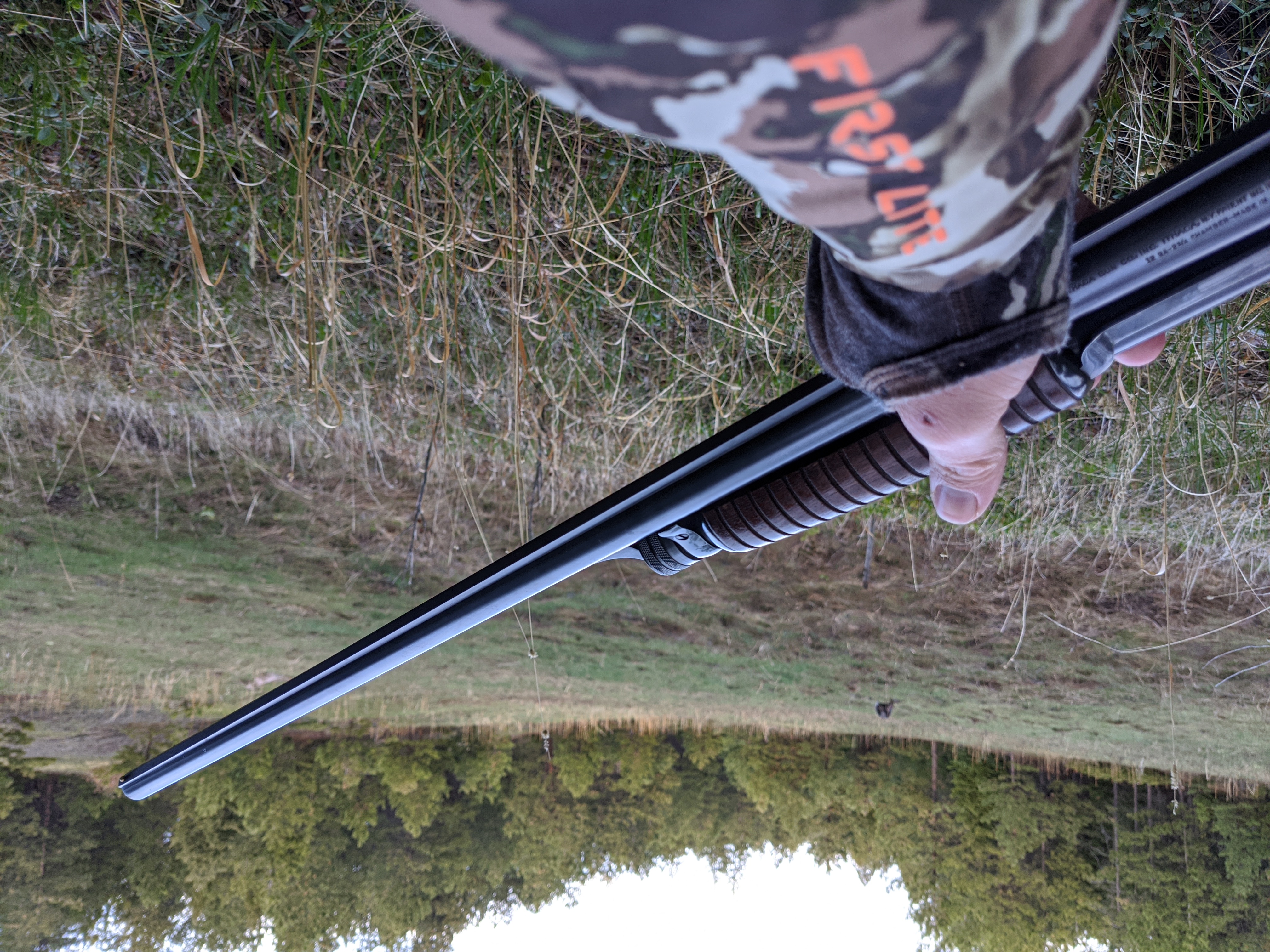
“PLOTS!” we shouted as we were rolling through what seemed like the middle of nowhere in North Dakota. We were getting a little punchy after so much driving, high on caffeine from whatever gas station fodder we’d swilled down. We had bailed off the Maah Daah Hey trail a day or so earlier and felt it was time to do some truck hunting. Neither of us had really hunted much outside of the trail or a few of the towns. But the map looked good, and full of public access land. So, with 5 extra gallons of fuel in my Jeep and a full tank we set out. What were we looking to find? The ground truth.
Ground truth is a term used in a couple fields, most notably intelligence and remote sensing. I first heard the term somewhere in a government facility talking about the conditions in a town and whether they were conducive to conduct operations. Our remote sensing, bretheren, less Men Who Stare At Goats and more Eagle Eye use the term to talk about getting eyes on target from something we’ve only ever seen photos or high definition imagery of. Sound familiar? Well it should. It’s the step between cyberscouting and hunting. You need to know whether what you’ve been staring at during your lunch breaks is actually the ideal habitat for the critters you’re chasing.
Why Ground Truth?
You might be thinking, “Why ground truth at all”? Wouldn’t you not just joyride around in the Jeep looking for a place to hunt, cellphone in one hand, the wheel in the other? Discounting the fact that you can get ticketed in a lot of places for doing it, you want to limit your searching to high probability areas. All critters need water, food, and shelter of some variety. Depending on what your critters of choice eat, and how far they roam determines how wide of a circle to draw around those three things.
There are a few things you need to take into consideration while you’re doing your ground truth analysis of a spot. We’ll cover them in a little more detail here.
Imagery Age
Sometimes it’s just not clear how old the satellite imagery is of a given capture area. However, many apps put their data sourcing in the lower right hand corner. The same is the case with any integrated website map that uses Leaflet and many other mapping libraries. It’s not necessarily required, but it is in good taste to cite imagery being sourced, which can give you a clue as to when the aerial imagery was taken. However sometimes it’s just copyright data, and only updated when the information is being sourced. Your mileage may vary. With Google Earth on a given spot you can toggle through several images of the same spot over time using the Historical Imagery option under the View menu, or selecting the image of a clock.
Why exactly does this matter? Take for instance that Colorado has been in drought more often than it hasn’t in the last two decades. You can look at the drought monitor map here from UNL. A D4 stage drought turns everything to dust, a D0 drought makes rangeland dry and hay production generally lessens. This impacts how animals will use the landscape, pronghorn are hardy, but may congregate to another swathe of land than what looks green on your satellite imagery while cyberscouting. Ground truth matters for intelligence gathering for your next hunting or fishing trip.
Searching for Water
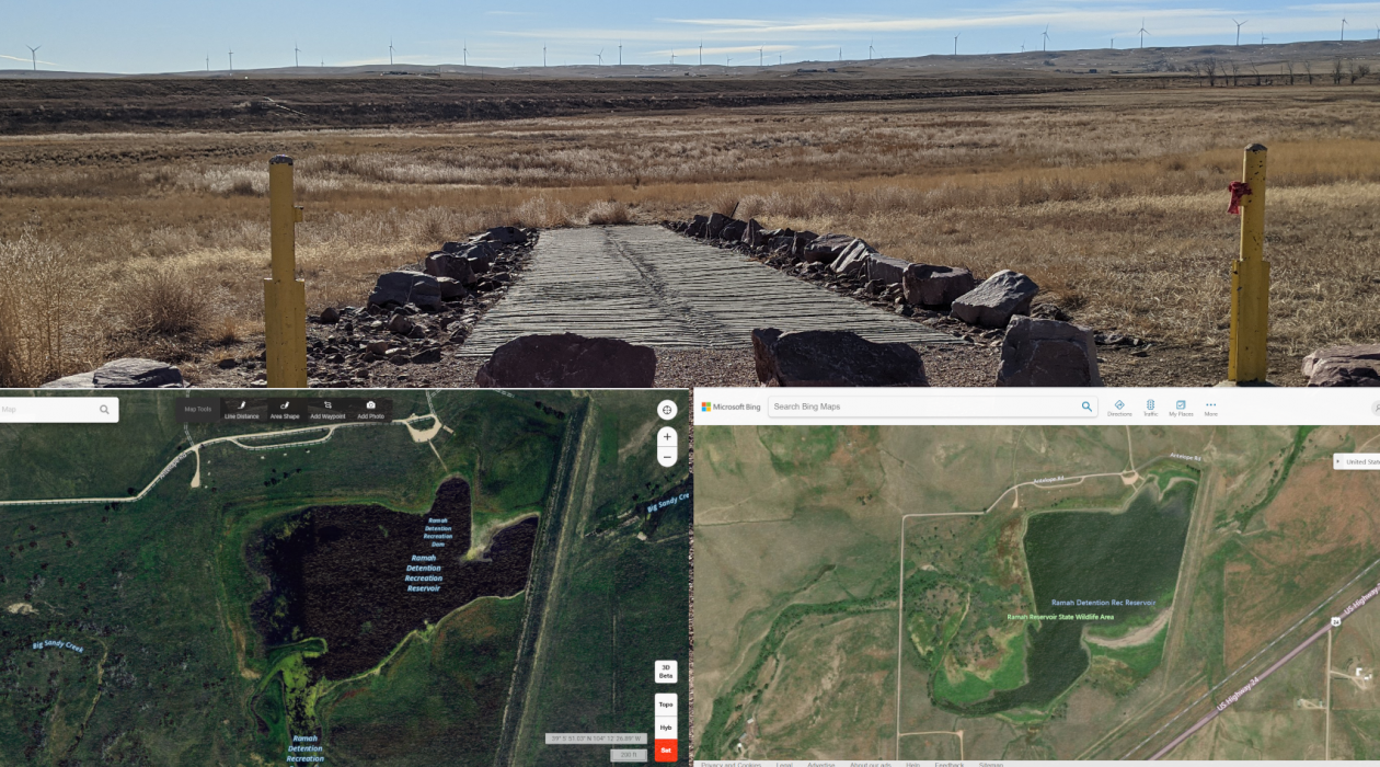
Ongoing drought affected me as I explored the many interesting reservoirs in eastern Colorado. A prevailing thought is that if I find water, I’ll find critters. Rabbits love the snarls adjacent to marshy areas, and you’re likely to jump shoot ducks in the reeds next to inlets and outlets of ponds. However, it’s good to know if the ponds still even exist. When I drove out to Ramah Detention Reservoir in the 2020 season I found the reservoir to be dry despite imagery to the contrary. Most if not all of the imagery displayed the current year in the bottom right hand corner, but that can be deceiving. I pulled all three screenshots below 2/25/2021. We’ve only had two months in which to take imagery this year, and there would have been snow coverage even in parts of Eastern Colorado. Checking imagery date would have been beneficial here.
Ramah SWA Reservoir from OnX imagery. 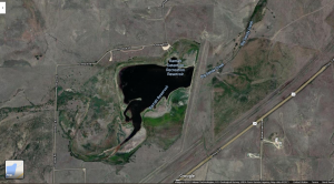
Ramah SWA Reservoir imagery in Google Maps. 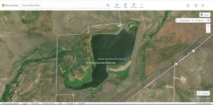
Ramah SWA Reservoir imagery in Bing maps powered by TomTom. You get the picture. 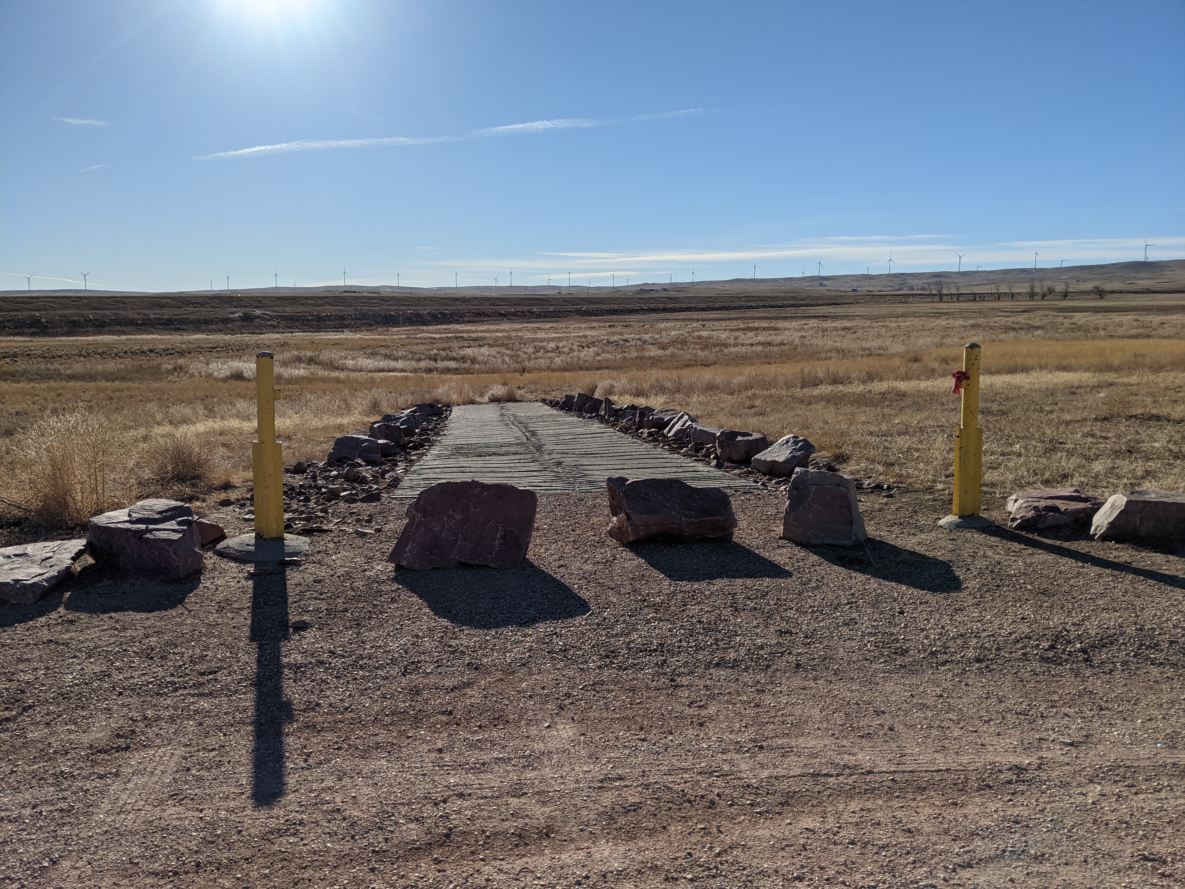
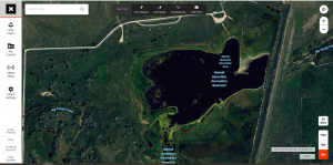
The boat launch at the lake in Ramah. Note the lack of a lake. 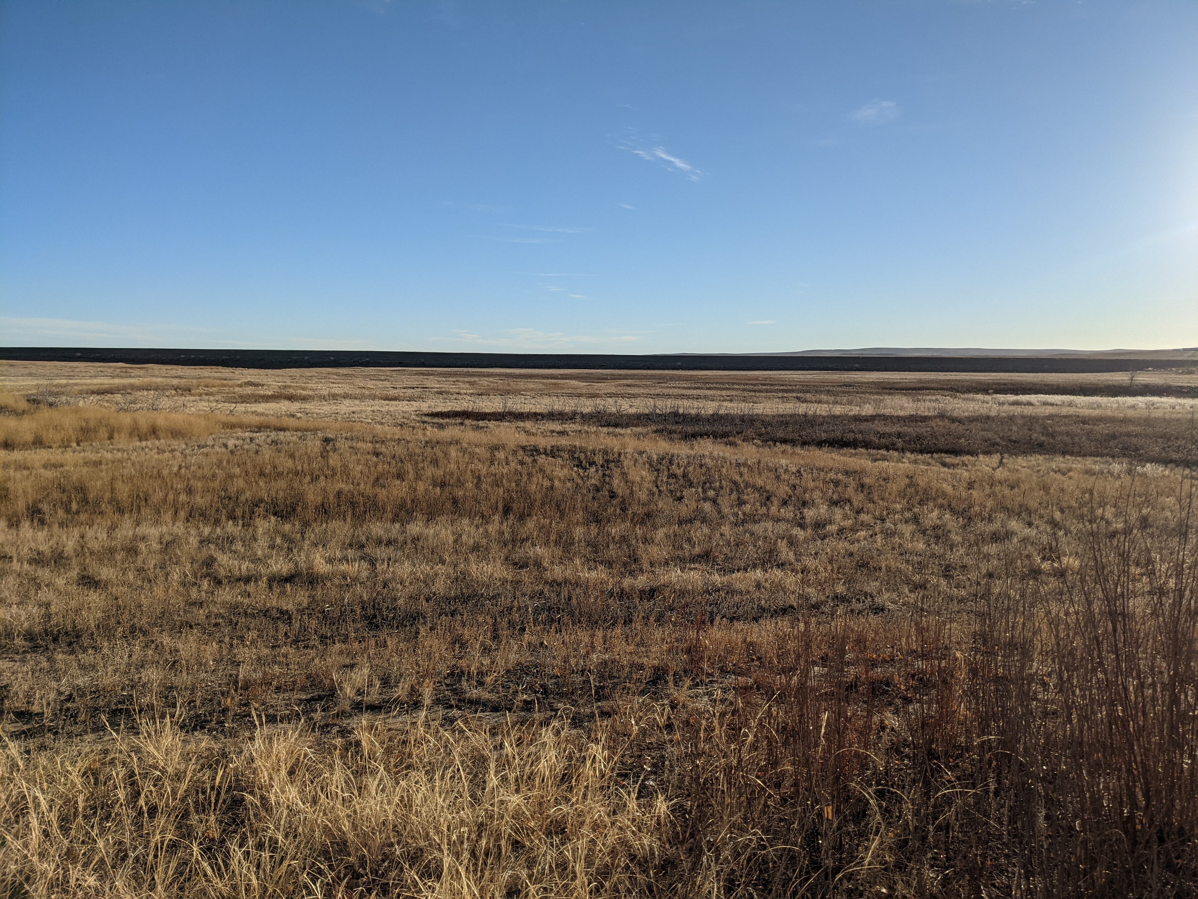
The bottom of the lake in Ramah hasn’t held water in a long time. I walked across the dry lake bed and there was no evidence of any moisture at all.
Researching the Locale
Now how do we solve this? How could you possibly know that the reservoir had gone dry? For bodies of water it might be useful to search <Body of water> +dry in Google. The plus will anchor the word so results are required to have that word in it. Using that method for Ramah Reservoir +dry I found numerous accounts of the reservoir being dry and cited even by Colorado Parks and Wildlife as being a ‘feast or famine’ reservoir. The Denver Post has one such reference from 2007:
Ramah Reservoir, centerpiece of the SWA, went dry following several years of drought. Bountiful rainfall this summer began a refilling process that allows hand-launched boats. The property will be available for teal season, which opens Saturday.
https://www.denverpost.com/2007/09/04/notes-ramah-addition/
Had I done the research in advance, I might have known not to even bother going there looking for water. Thankfully I stumbled on the land while pronghorn hunting, and had seen some duck hunters get there — and find the lake rather disappointing. Unfortunately this has happened to me at least once before.
A Long Drive
Part of the point of cyberscouting is that you can’t always be in the field. So why waste your valuable time checking out properties to see if you might want to hunt there later? Well, as you saw above, lakes dry up. Crops rotate. Cows sometimes graze down state land. New roads get cut. Things change over time. Your satellite imagery is a snapshot in time during ideal conditions to get the best imagery possible. If you’ve ever been endlessly scrolling over imagery sometimes you’ll notice a change in hue. That could be due to images being taken at different times of day, but it could also be different times of year, and the tiles are stitched together later to fill out the map.
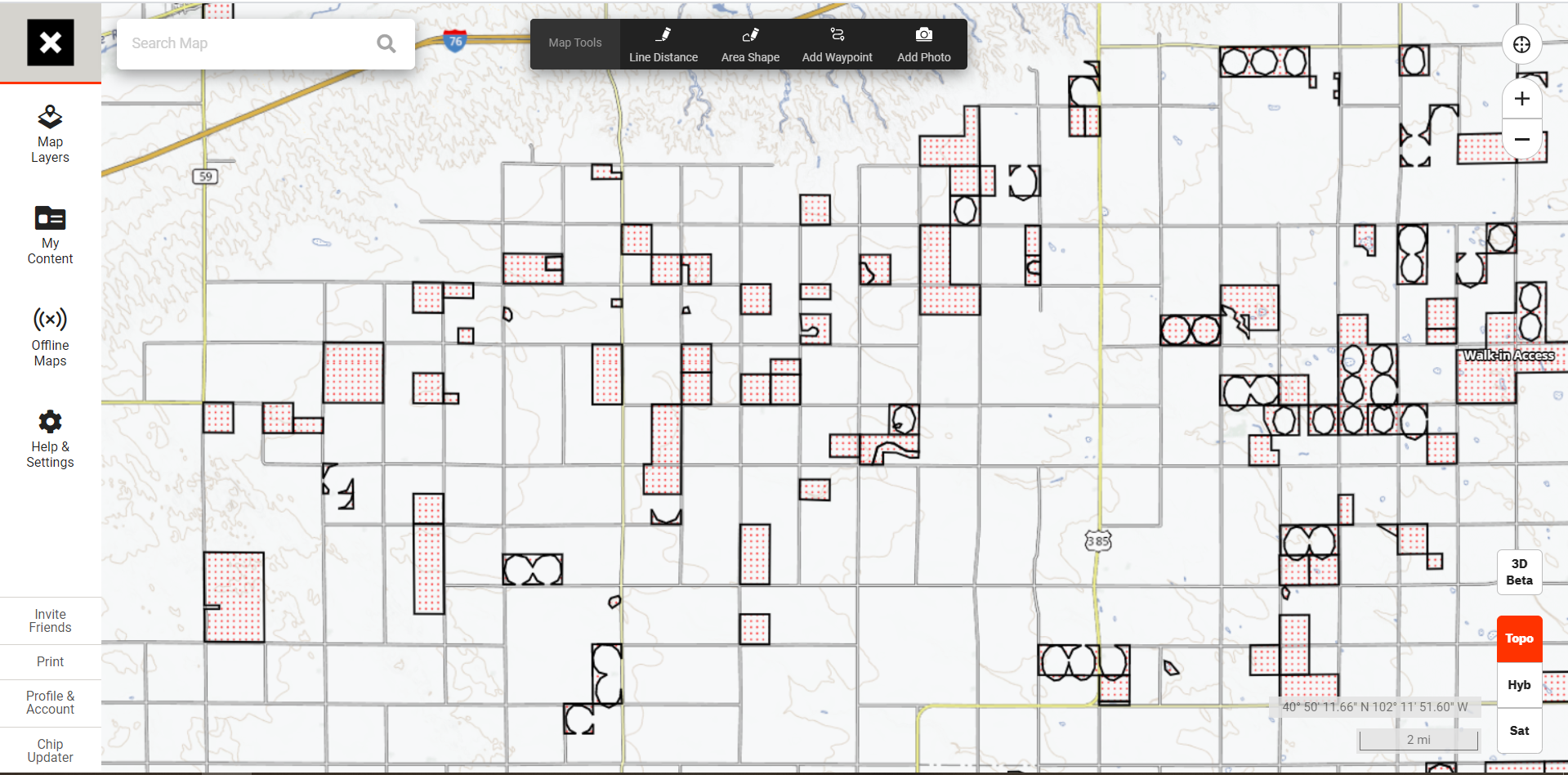
In some states like Colorado, farm acreage is enrolled in the Walk In Area program. In states like North Dakota you’ve got PLOTS, Private Land Open To Sportsmen. While you can look at a satellite map for hours or days — you really don’t know if the area will hold critters until you’re there. You have no way of knowing what crops are planted there, or nearby…
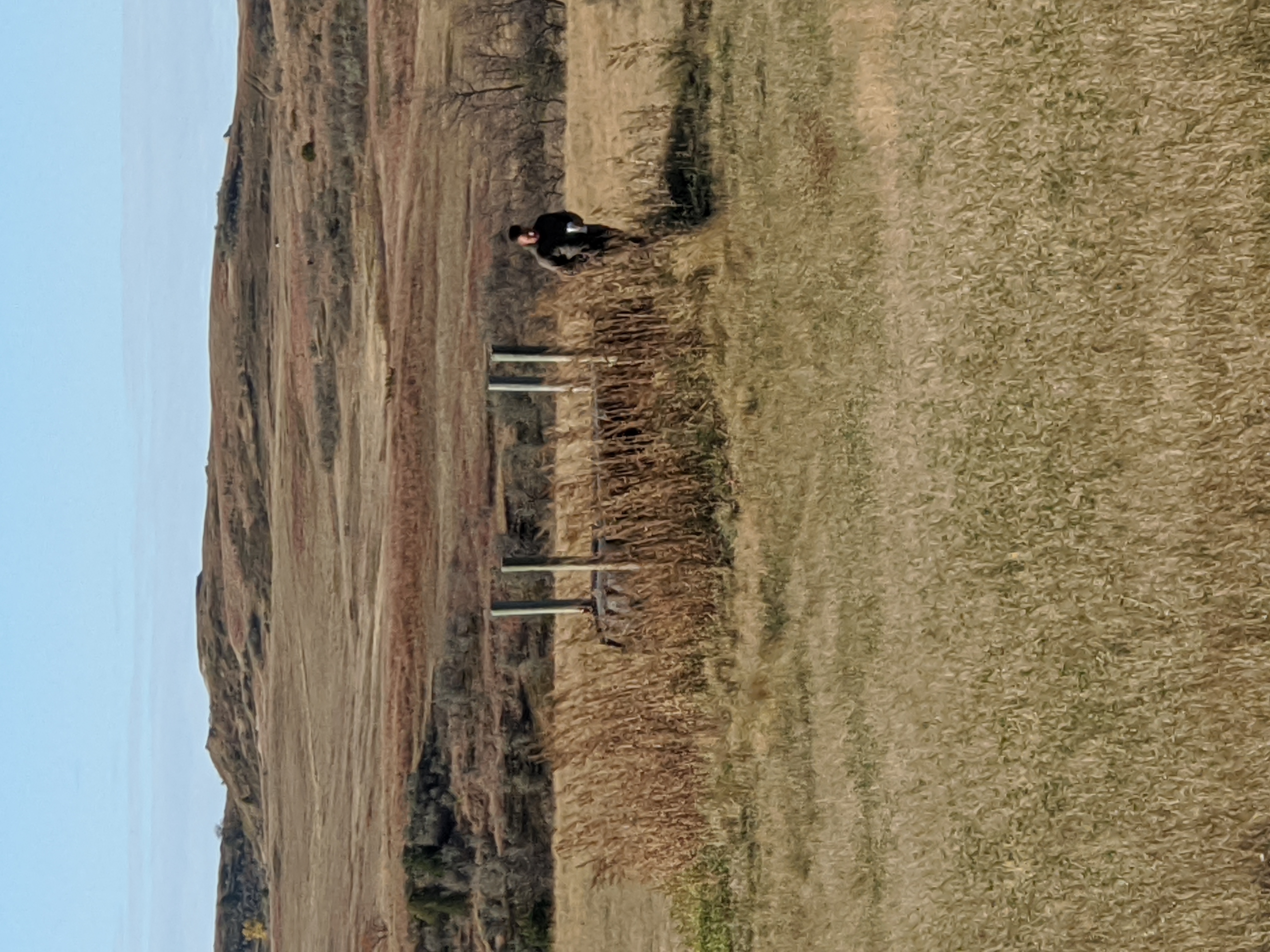
Sometimes the best option is to look at a map, find either acreage or habitat density, and go for a drive. Back in the Jeep, Brian and I loaded up the dogs and set out for a day’s worth of driving dirt roads in North Dakota to find a few places to hunt. Our legs were sore from hiking the Maah Daah Hey trail for four days straight, but hunting wasn’t over yet.
Set a Course
When driving around for public land I find it easy to try one of two tactics, planning for acreage, or planning for diversity. Sometimes it’s beneficial to drive out to check out one giant plot of public land. That’s good for State Wildlife Areas (SWAs). It’s good to find out in advance whether a lake is dry if you intend on waterfowl hunting. While it might skew your data with snow melt, I tend to check out these properties in the spring with fishing tackle in the truck. Might as well, right?
The other tactic is planning for diversity. I look at the map in OnX and try to find the most direct route between a dozen or so properties. Make that route maximize road view of public access. My plan here is to look for diversity of habitat. In Eastern Colorado I’m still looking for water of some variety.
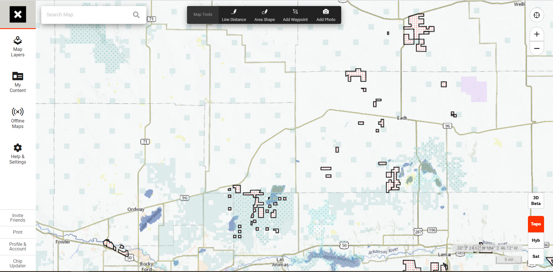
Know Your Land Access
In some areas it would seem that the Walk In Areas and various forms of government land are a target rich environment. Some other areas they can be quite sparse, or you feel like you need to be a PhD to figure out what you can access and when. In Colorado many of the State Trust Lands are leased to outfitters or ranchers. Those have to be explicitly open to sportsmen. They’re shown in blue in the picture below. Those would give a sportsman a false sense of access, but could result in a trespassing fine on land that you own.
A Feature Request
OnX, if you’re listening. Please. I’ve filed a feature request for OnX Hunt to have Android Auto capability. For the love of all that is Upland holy, please implement it. I’m not saying that I don’t like riding around for hours with a buddy in the seat beside me calling out cardinal directions or land access rights. However, I could have the technicolor rainbow scrolling on my 8.5″ Jeep touchscreen.
The first GPS mapping software that provides a hunting layer and Android Auto / Apple Airplay functionality will be an absolute game changer for scouting. Marking properties with potential or nixing them on the fly would be amazing.
Not So Easy
So here’s the bad news. Thus far I’ve focused primarily on scouting via your truck. Driving around getting some windshield time is great. However, it’s hard to know what something in the deep woods looks like without going to see it. The last thing you want is to see something for the very first time in the dark on opening day of elk season.
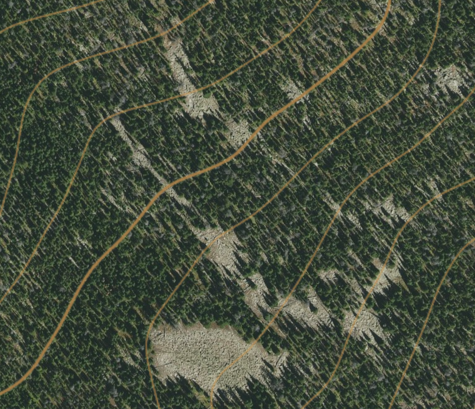
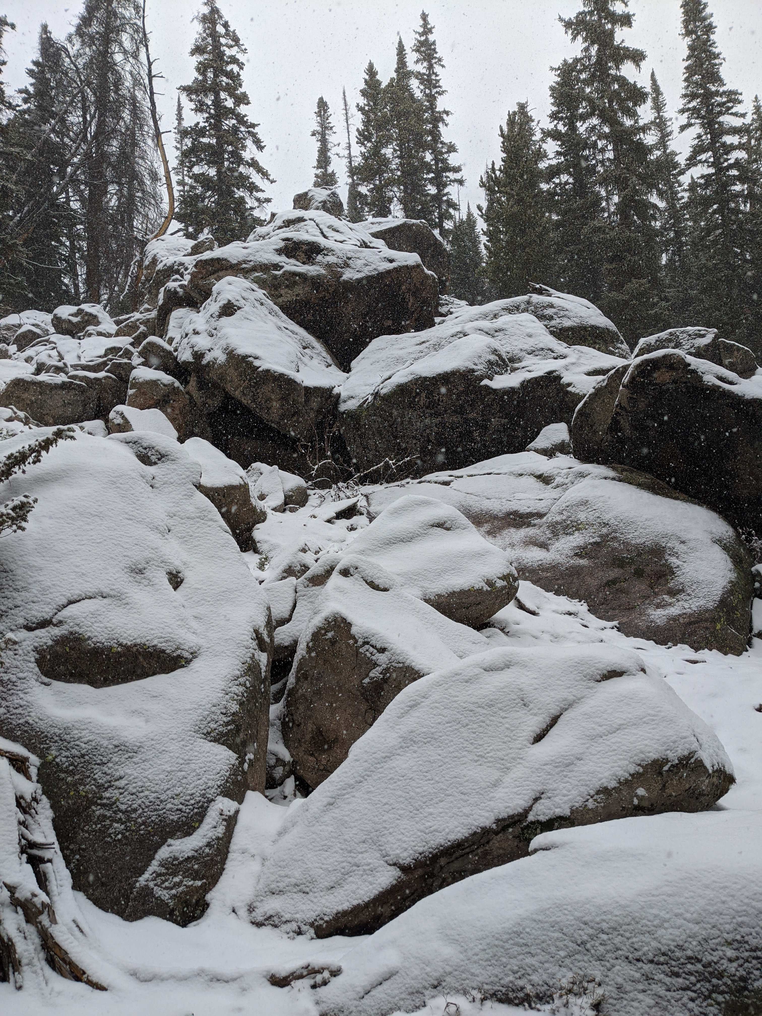
One of the particularly difficult things I’ve found to judge via cyberscouting is slopes. It’s often somewhat tough to tell to the untrained eye what a scree field looks like versus a boulder field. Imagery often is deceiving or lacking resolution in order to make an informed decision. Sometimes you just need eyes on something, and in the case of slopes, a backup plan. Some terrain features you see on the map just aren’t safe to cross in a given situation.
Western Life
Some considerations are just different in the West than they are back East. Back east you might deal with new logging roads being cut or stands of timber just being cleansed from the earth by the same logging crews. Here you have cattle guards, gates, drought, and the general changes that come with high elevation country.
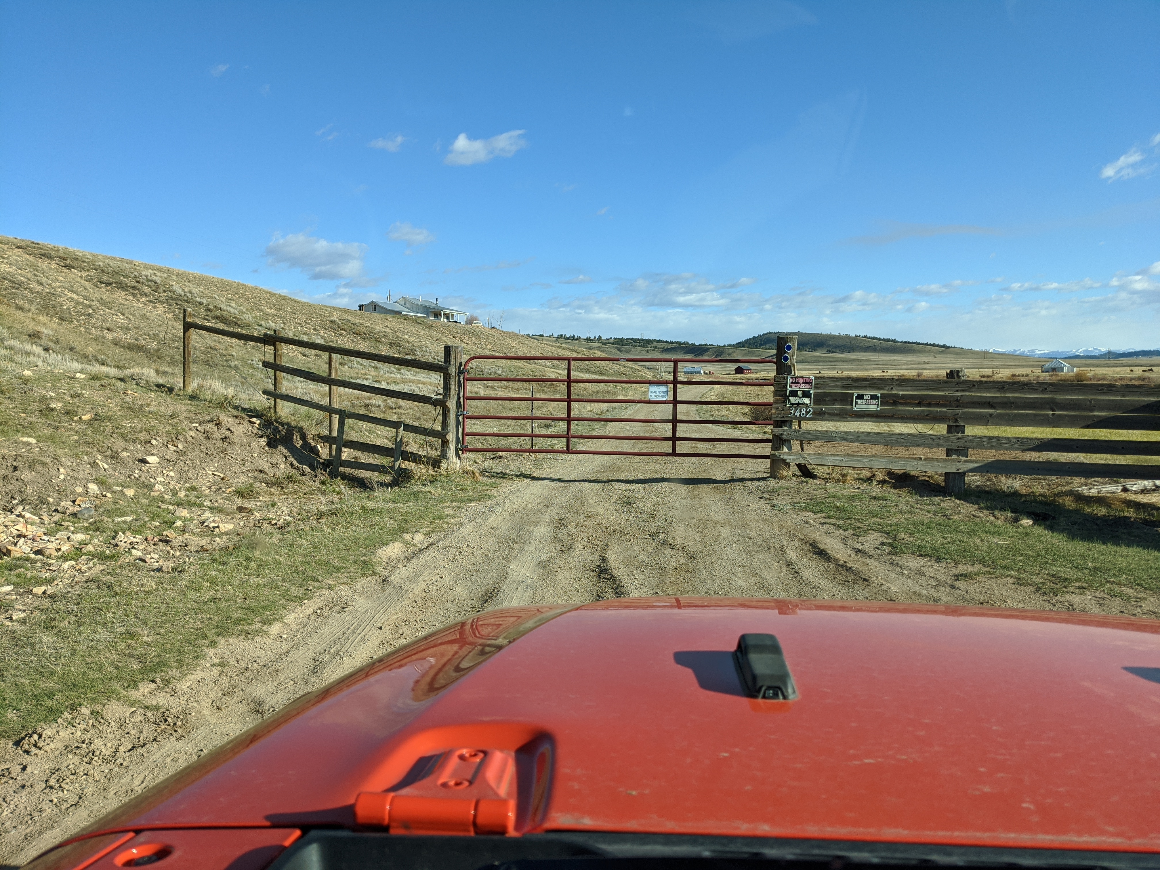
Gates
When doing some cyberscouting it can also be incredibly difficult to figure out certain elements of western life and how they may affect your access or travel. Open ranges are common west of the Mississippi and with those come cattle guards. With a top down view of a cattle guard it can be very difficult to figure out if there is also a gate across a road, and when it will be open. Under what condition is the gate open, is it free to use for anyone, or is it a blocked county road?
Stock Tanks and Ponds
When looking for water it might be impossible to tell whether a stock tank will be full, empty, or even in good repair. Same goes for guzzlers in the chukar hills. You might have a Nevada Guzzler Book but no guarantees that everything is in tip top shape.
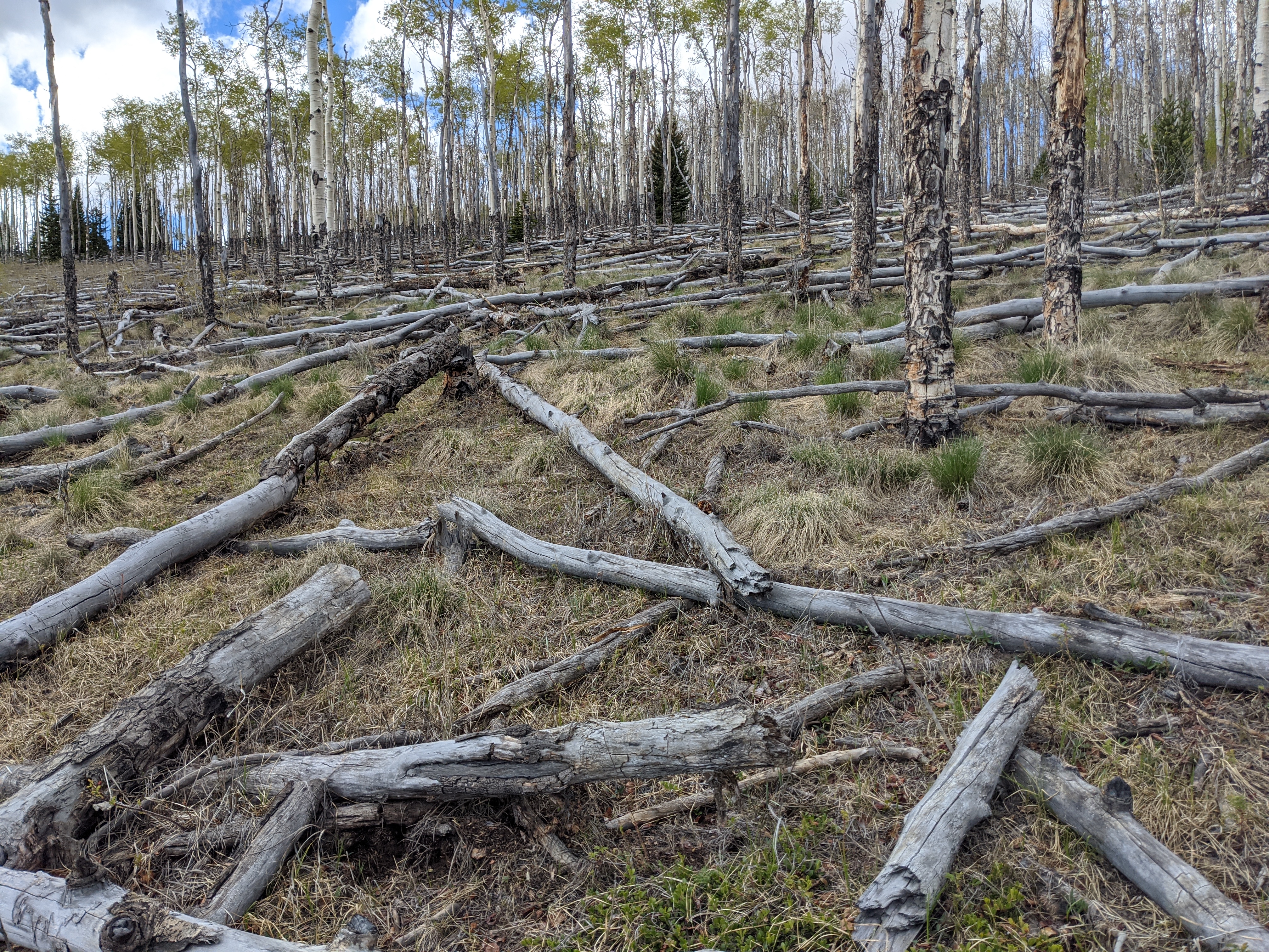
Beetle Kill and Blow Downs
Beetle Kill, trees killed by the Emerald Ash Bore beetle can be particularly disheartening. What was once a dense stand of timber can be all but decimated in the time between imagery and your trip. The only real benefit, I suppose other than surprise leg day, is that deer and elk will shelter here. It’s difficult to traverse the space for predators, and they can hear you a long way off breaking twigs. However, thinking you’re in for a dark timber hunt and finding blowdown is disheartening in a way that’s hard to describe.
Crowds
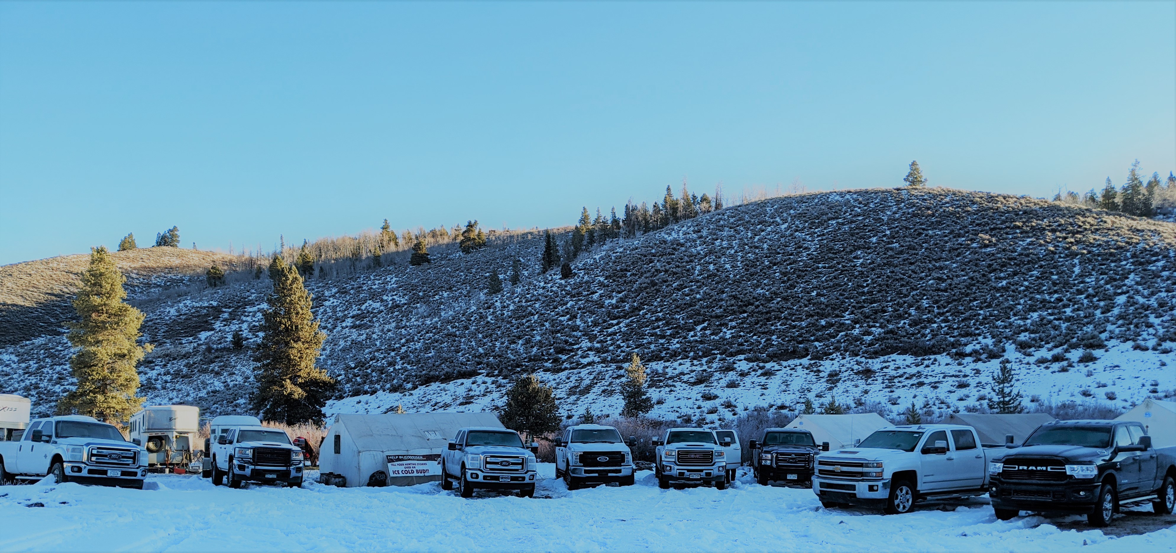
Every time you find a place that just seems out of the way, that takes some effort to get to, you’re probably not the only one who has thought of going there. I had driven some seven miles off road with tire chains during elk season in 2020 only to pass this camp a little over a mile from the spot I wanted to go to. They had horses and full sized pickups and more people than you could hope to see.
Run Off Season or Drought
This is less of a problem during hunting season unless you’re lucky enough to be hunting Spring bear in Montana. I’ve found it to be more pervasive in fishing high mountain lakes. However, you’ll need to be aware that run off varies from season to season. What appears to be a tiny cut that you can hop over during the dry times can turn into a raging torrent with snow melt from upstream. That’s impossible to gauge from a satellite image.
Double Dipping
This should probably go without saying, but maximize your time outdoors. If you’re going to be scouting anyway, it might be a fun time to pick up foraging or shed hunting or do some fishing. I pack a trail rod with me when scouting mountain areas for grouse. I happen to enjoy tent camping in the backcountry in the spring or summer. Why on earth would you go to a reservoir without bringing a rod to just test the waters? In this busy world your time is important. Make the best use of it.