Roads Closed, Move Along
This year due to the coronavirus, the Colorado Parks and Wildlife along with the state of Colorado decided that they would not open the highway to the summit of Mount Evans this summer. It’s one of a small handful of 14,000 foot tall peaks you can drive nearly to the summit of. It’s also a jumping off point for many popular area hikes. So what do you do when you want to get into the Mount Evans Wilderness and the Mount Evans Highway is closed for the season? What am I, the Wilderness bagger to do in order to do it justice?
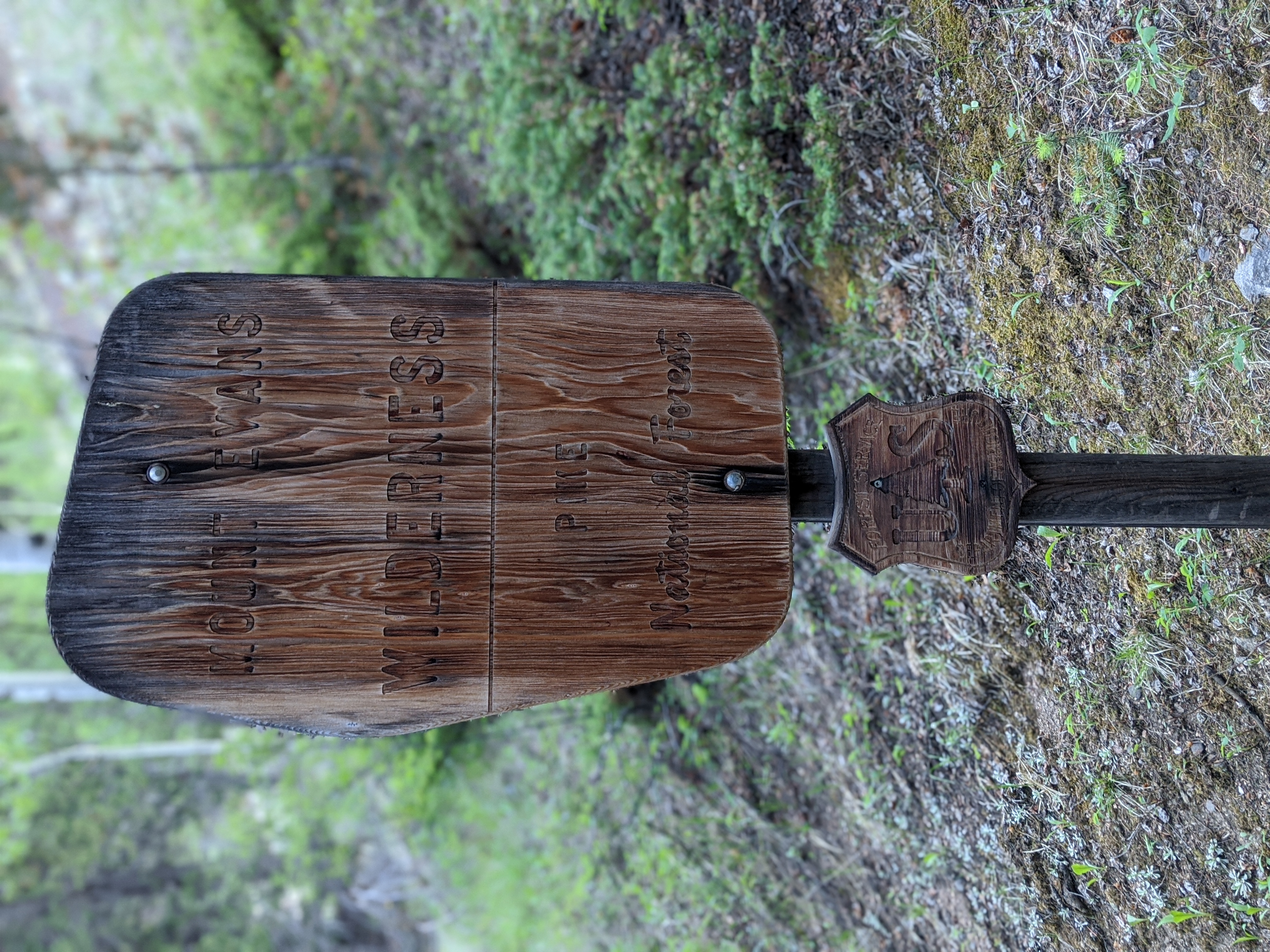
The temporarily closed highway, the Mount Evans Scenic Byway, is the only road that bisects the 74,400 acre Mount Evans Wilderness Area, designated as federal wilderness in 1980. The Guanella Pass road in Grant, Colorado hugs the Wilderness on it’s Western border, giving a portal to another popular 14,000 foot mountain, Mount Bierstadt. Hiking a 14er in peak season of the late spring and into the summer, even on a week day, may require you to get a spot at the trailhead before 5:00 in the morning. Late risers need not apply unless you’re camping at the base of the mountain the night before.
I wanted the wilderness experience I’ve come to love from hiking these high and wild places, but I didn’t want to feel like I was on the summit line at Everest. Instead I looked for trails to get into the high country without the people. It’s hard, with the Mount Evans Scenic Byway closed this year it meant that all of that tourism traffic had to go somewhere. The Guanella Pass Road was one likely spot for folks to go, and they did.
Three Miles
The Guanella Pass Road was going to be the best access into the Wilderness now that the Mount Evans Road was closed. It’s a popular pass between sleepy Grant, CO and the old timey yet somehow touristy Georgetown, CO. The road features numerous pull offs and the opportunity to see moose, mule deer, elk, bighorn sheep, mountain goats, and other fauna. In the summer the wildflowers up in the pass area are stunning. In the fall, leaf peepers gather roadside for pictures of aspen set ablaze by the change in seasons.

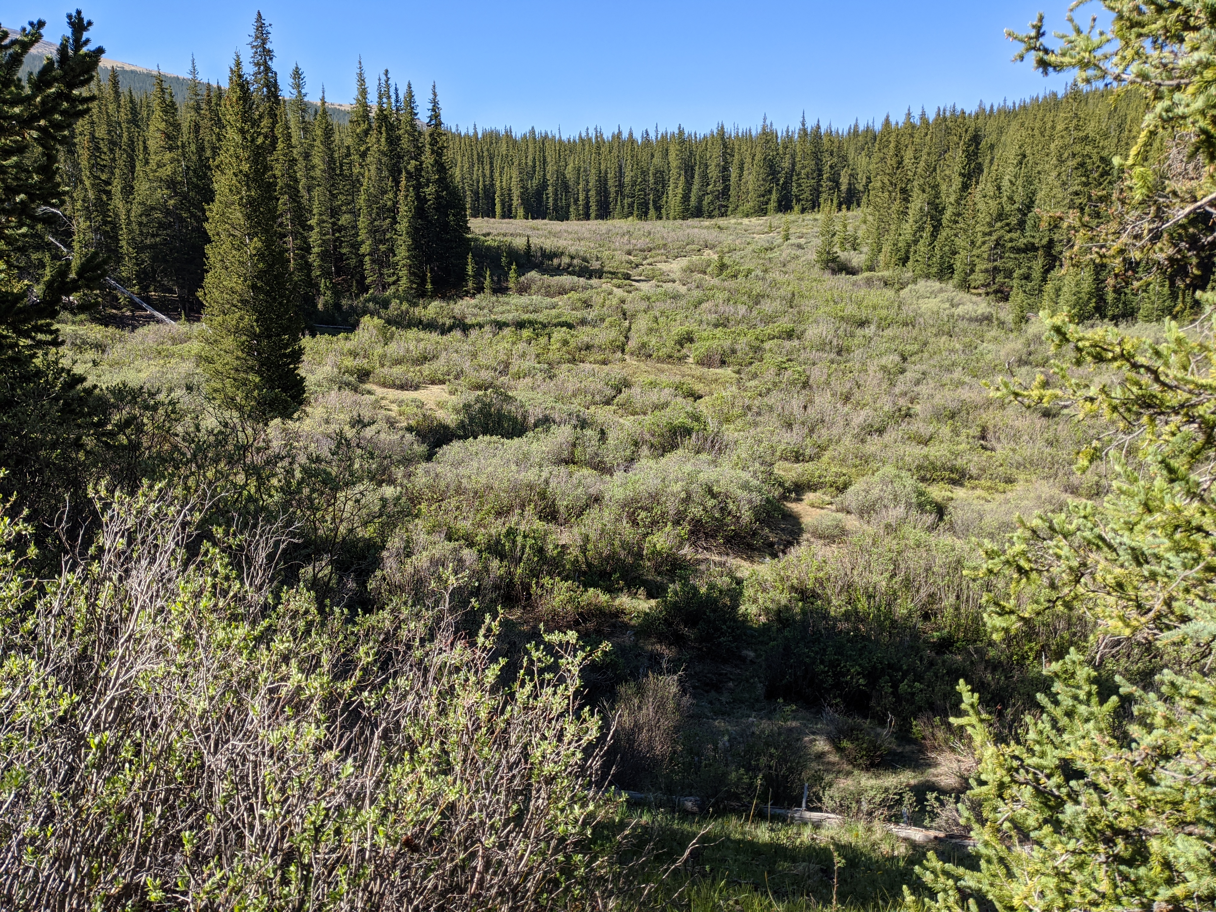
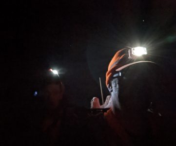
For my first long-ish hike of the year I chose Threemile Creek Trail. Unlike what the name implies the hike is actually 9.4 miles round trip per the AllTrails page, and still doesn’t quite get you to the trail terminus. I arrived fairly early in the morning around 7:00 and was able to get the second spot in the lot, which is about a half of a mile down the road from the trailhead itself.
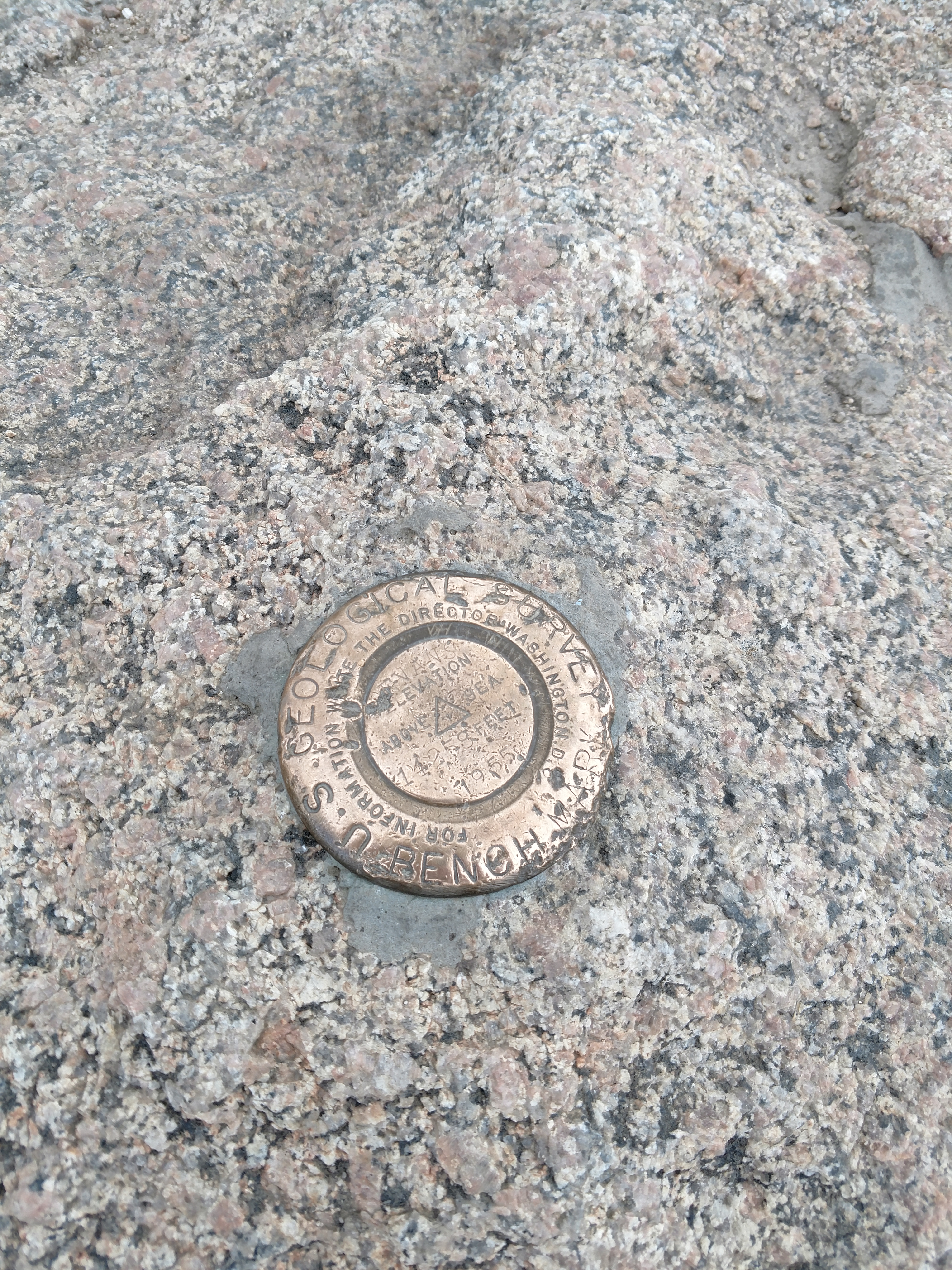
Behind the trailhead you take a small foot bridge to cross the creek and plunge into the forest for some quick hill climbing before descending back down to the road. Another foot bridge back across the creek and you’re ready to cross the road to the trailhead and check for your Wilderness Permit at the sign in if you need one for overnight stays. There’s also a pretty cool USGS survey marker, which, unfortunately is now basically in the middle of the trail, so if you’re going up in the dark watch your step!
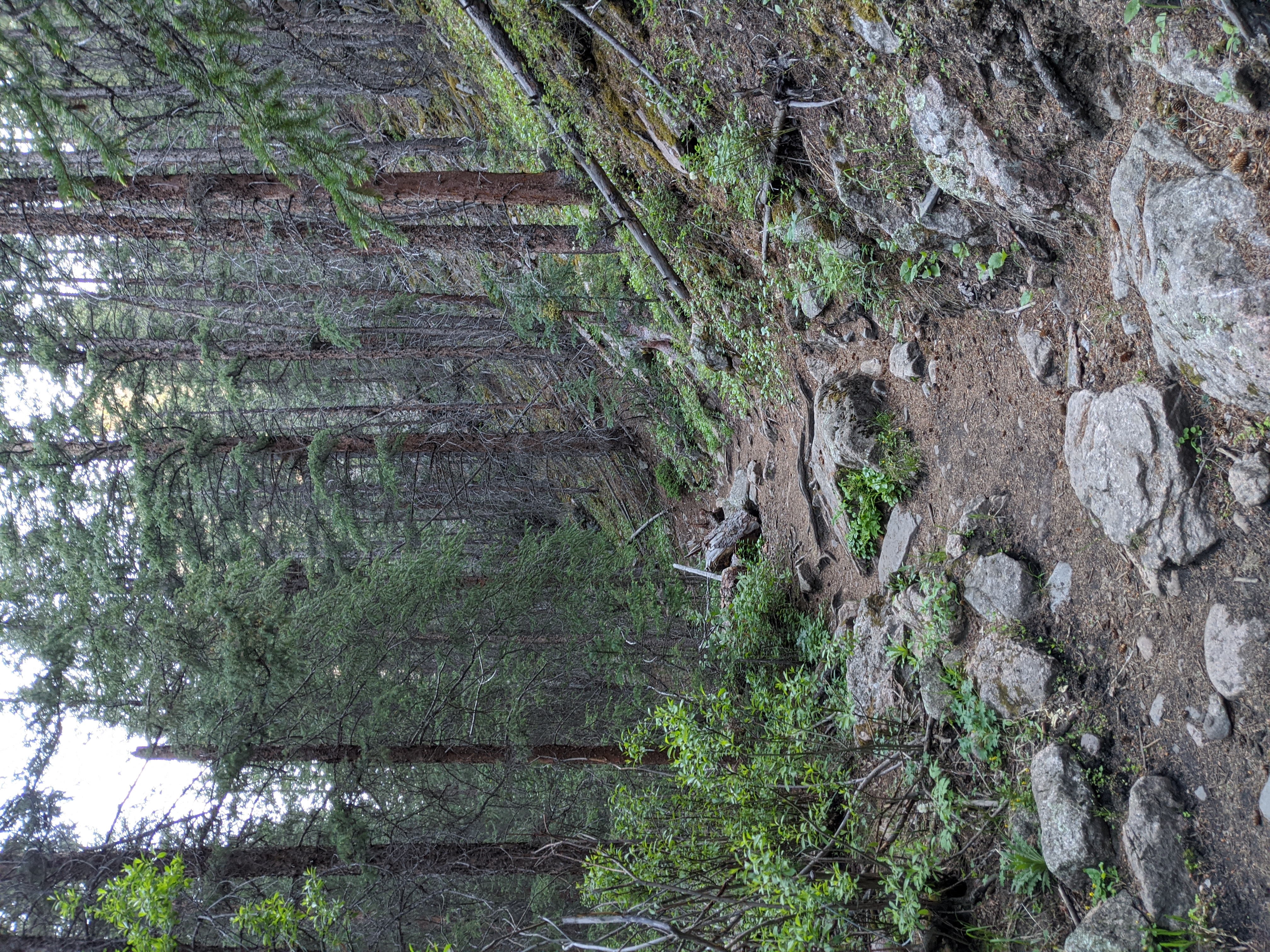
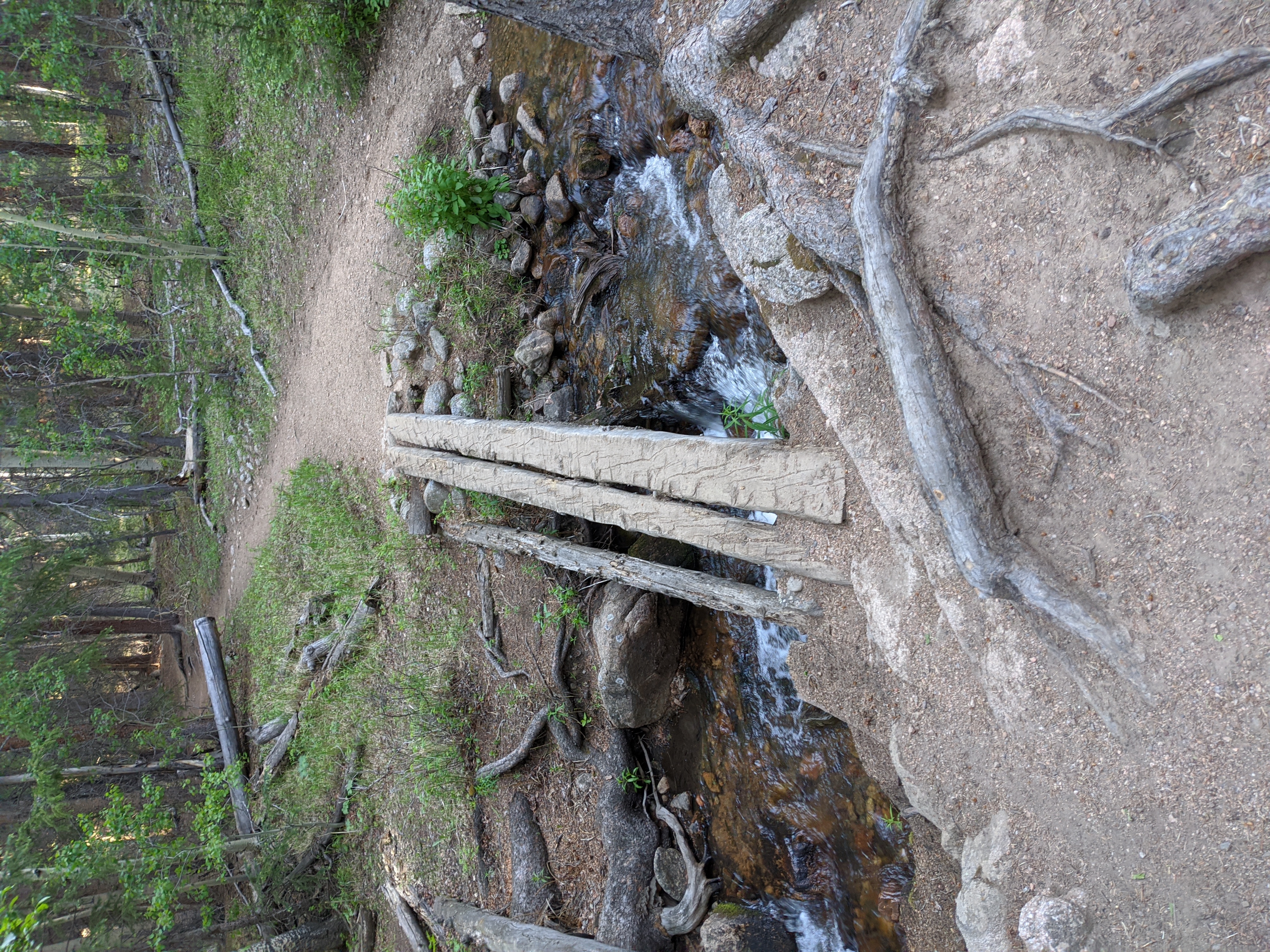
Those first two creek crossings before you even hit the trailhead are a precursor of things to come. During the course of the trail you’ll cross the creek something like a dozen or more times. Usually you cross on sketchy log bridges, sometimes it’s time to ford the creek in your boots. Generally speaking there are two crossings at every area, one for bipeds via a log bridge, and one for stock.
Up, Up, and Away!
The creek crossings become somewhat if a joke after a while to me, as I’m just starting to get a pace going and you hear rushing water again. Closer, closer, and then the trail ends, directly into the creek. Cross, and twenty some minutes later cross again. But that’s part of the appeal, the zen of hiking is letting some of that happen on autopilot as you enjoy the scenery.
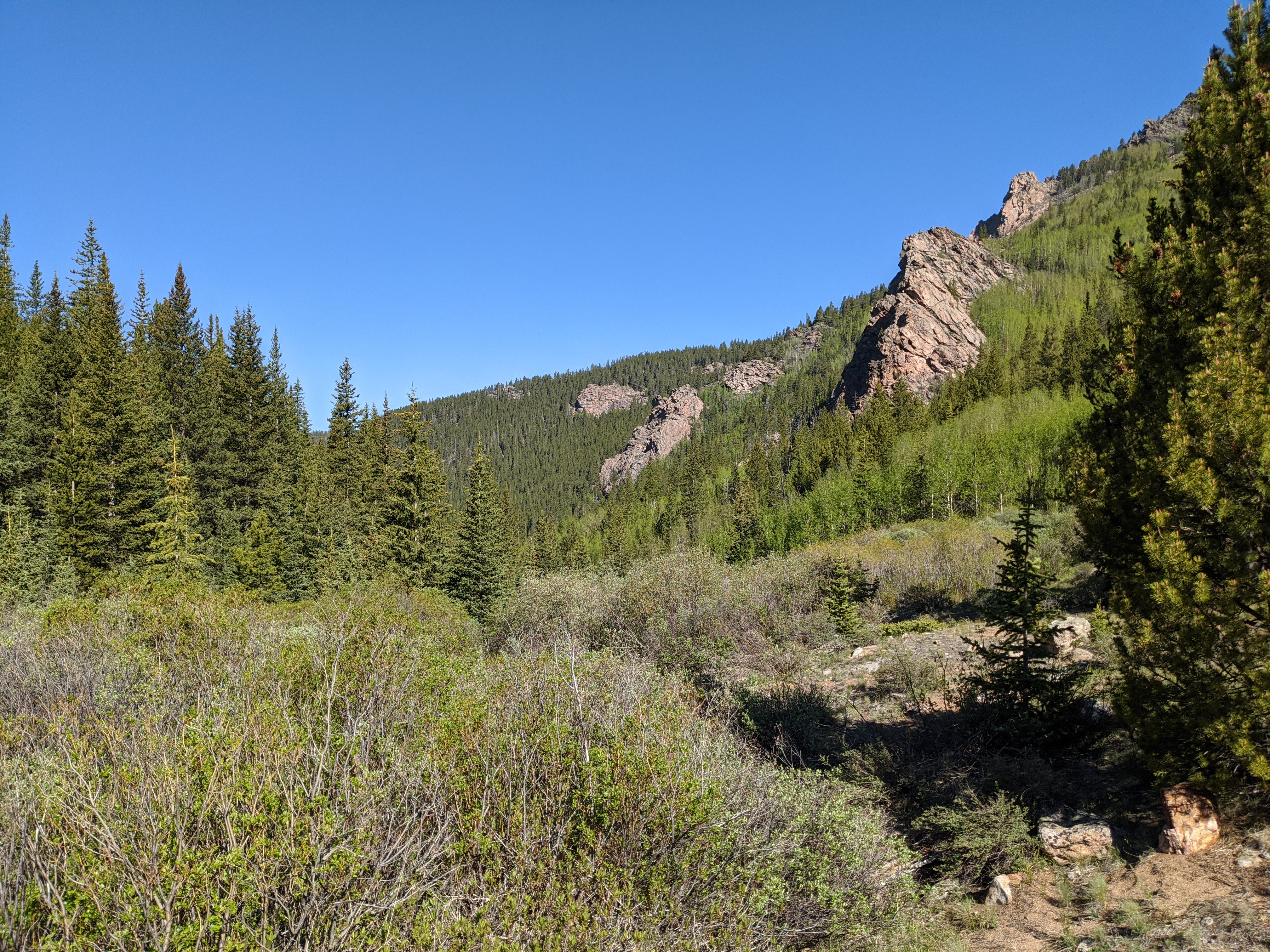
You do begin to gain some elevation as the creek goes from a small trout stream to almost a trickle. In part some of the trickle is due to a family of beavers having dammed up the stream about two miles into the hike. The terrain becomes more rocky as the walls of the canyon become steeper. I’d hoped I might stumble on a rogue bighorn sheep climbing the rocky crags above me, but none ever materialized.
Open fields interspersed with Aspen groves, alive and quaking with the slight breeze is why I moved here. I was not so secretly hoping to move a blue grouse during the hike, but instead only tweety birds and mosquitoes were about.

Never Give Up, Never Surrender
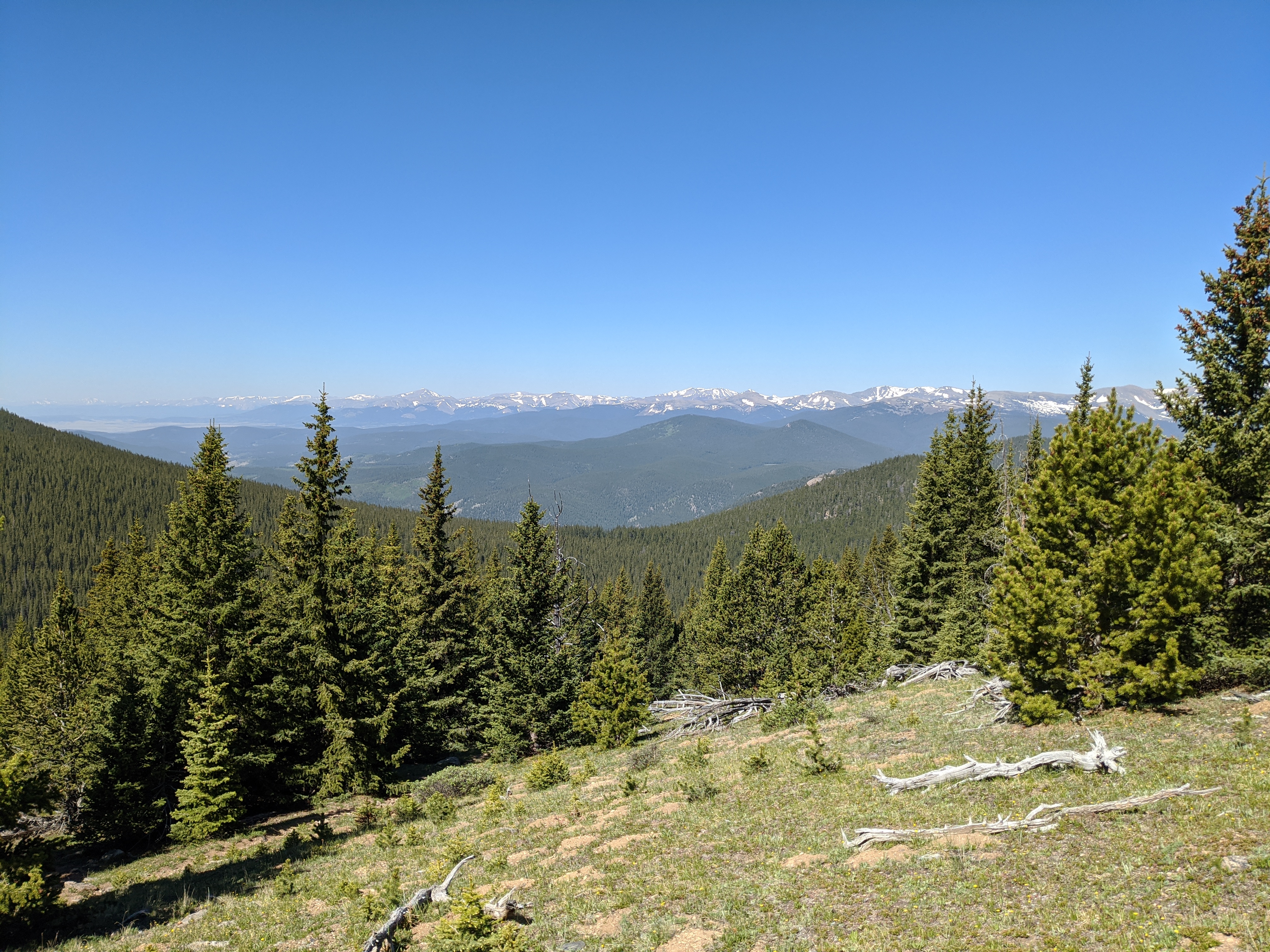
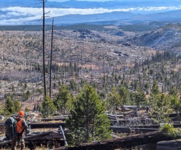
The last third of the trail involves some brutal uphill switchbacks, with those come more sweeping views. My thoughts turned to hoping there might be a moose in the swampy creek areas, noshing on some willows. But alas, no moose materialized. This area has a healthy population, and we’ve seen them in the area a few times before. After the switchbacks subside the forest seemingly falls away on a raw and sunbaked mountain side.
Nothing worth doing is ever easy, and I was stunned as I finished the switchbacks just how many people had complained on AllTrails that they just wanted to turn back. At the top of the clearing I sat down, caught my breath, and enjoyed a brunch while glassing. I was treated to panoramic views and no one around, and I only had to get a little over 4 miles away from the road.
Mount Evans Summit
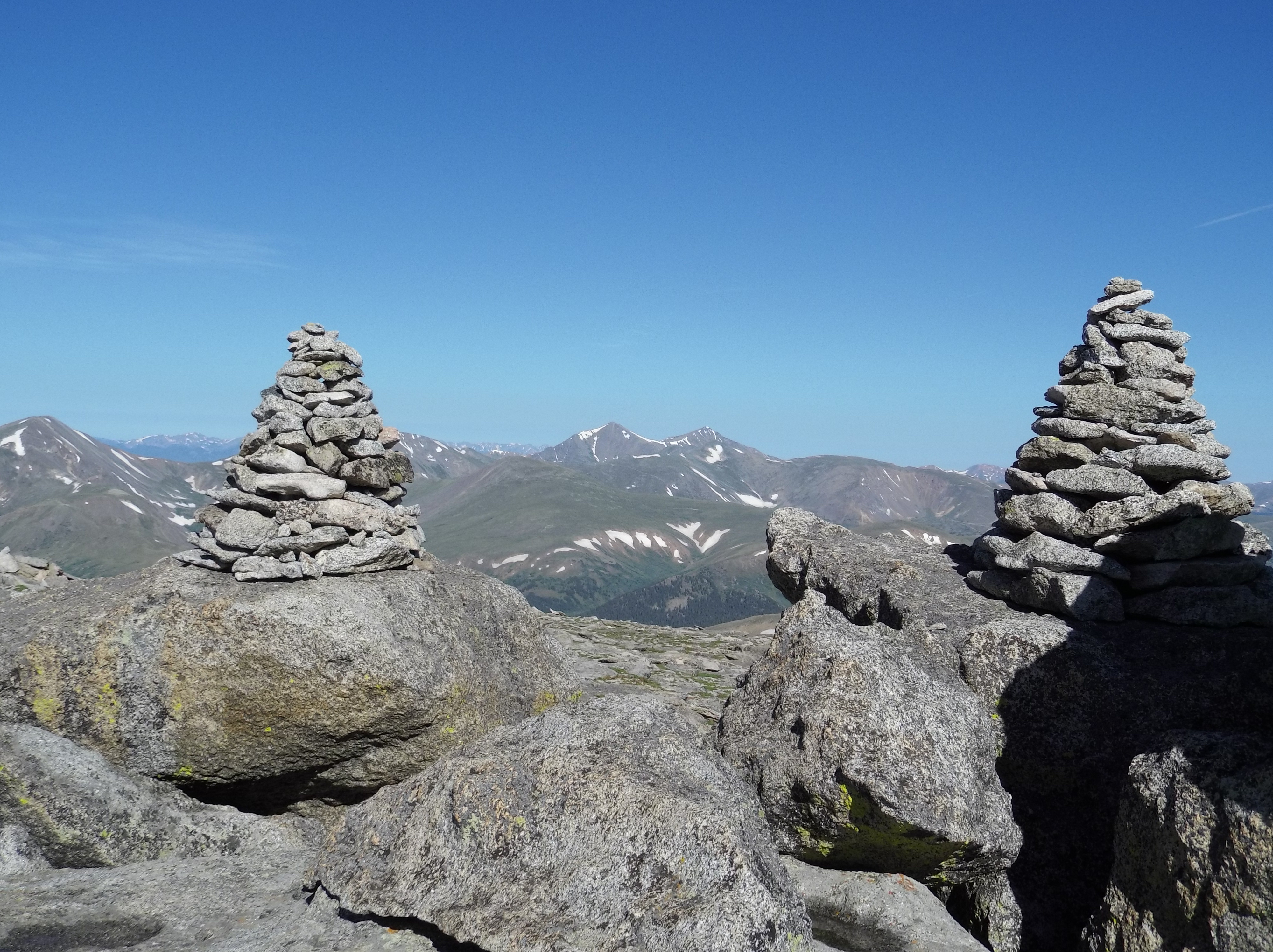
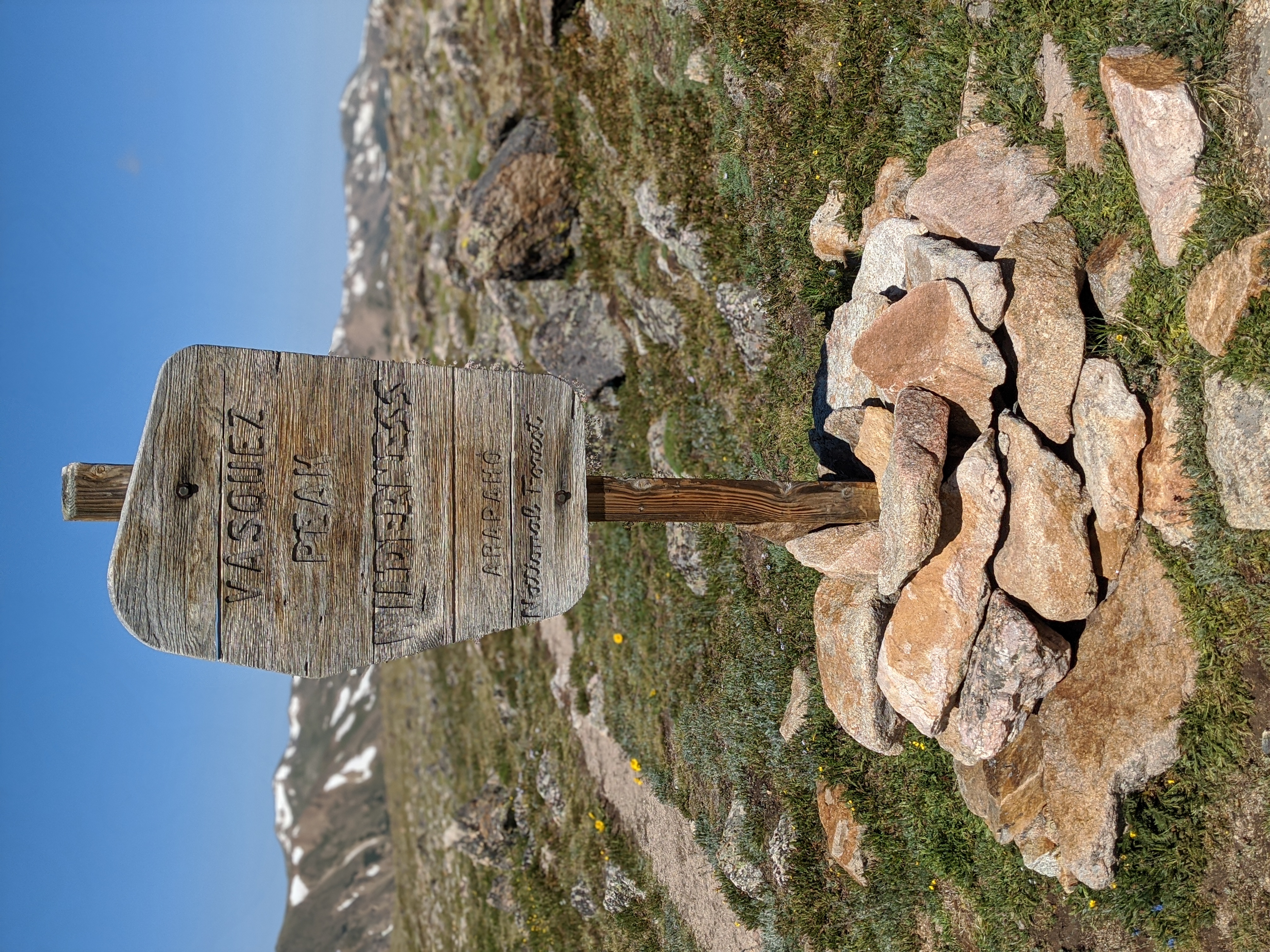
In 2019 myself and a group of coworkers hiked Mount Evans itself from Summit Lake to the summit. The route we took started from the lot at Summit lake, and ascended up to Mount Spalding (13,852ft) before walking the ridge line and doing some rock hopping and route finding in order to approach the summit of Mount Evans from the western side. The loop created by walking back down the access road was only 4.1 miles and 1770 feet of elevation gain. Thankfully we did not use the sometimes treacherous sawtooth ridge from Bierstadt to traverse our way to Mount Evans. That perhaps would have been a little much for my first official fourteener summit.
| Why am I doing this? I’m on a quest to hike, camp, hunt, or fish on all of Colorado’s federally designated Wilderness Areas. Check out all the articles here! |


Although the road to the summit of Mt. Evans is closed to cars, bicycles are allowed. This summer is a great opportunity for an awesome, car free, bike ride, or you can use your bicycle to access hiking trails along the road.
Scott,
Absolutely! I’m not much of a bike rider, but you can still bike or hike the Mount Evans Scenic Byway. It’s a bit of a poke, and my hat is off to people who can grind it out on a bike to get to the summit or summit lake. I found the Guanella Pass Road a little easier to access given my timetable to hike on a weekday. Another option would be to hike in from the Mount Evans SWA if you have a hunting or fishing license.