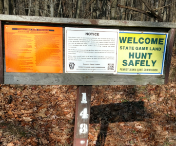
Air Conditioned Scouting
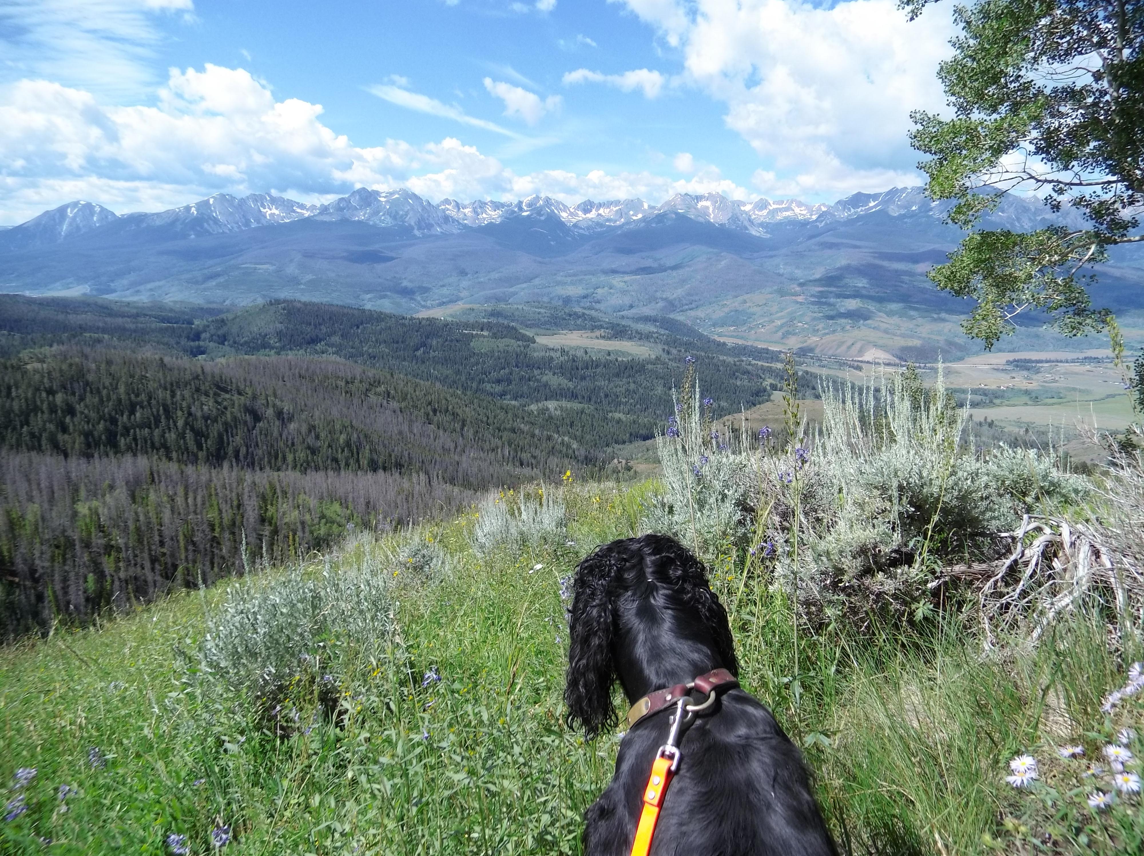
It’s August, and many hunters are out and about sweating and putting in final work for their food plots, checking to see what sunflower fields are looking good for the dove opener, or doing a little camping coincidentally in the same areas they plan to hunt in a few months. Me? I’m kicking back while it’s roasting hot and chilling out in my basement doing a little cyber scouting. Putting boots on the Internet! I’m enjoying the air conditioning and a frosty beverage now, but I’ll soon be out there tearing up the mountain roads and putting miles underfoot.
Enhance. Enhance.
So on to my quick tip. While you’re scouting and click-dragging all over that sweet area of National Forest you checked out and have on your list of public land to try this year check out the various wide spots in the road, and parking areas. Are there trucks there? Have you tried different mapping services? What about zoom levels? Different imagery comes from different sources, and while some degrees of zoom may well come from LandSat or other imagery satellites, some of the higher zoom levels may come from planes. These passes may come at different times in different seasons.
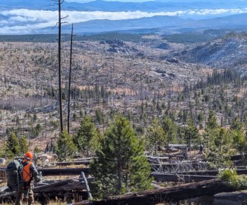
Why does this matter? Well, this year I’ve drawn mule deer tags half way across my state. I’d like to be able to scout it in person, and at the end of the month I will. However, I want to know the activity I’ll be dealing with at the trail heads. One way to find out is to locate prospective parking areas, and check all of the zoom levels for different mapping services.
Pulling up my OnX Maps I found some trail heads, and saw that at one zoom level it was entirely empty.
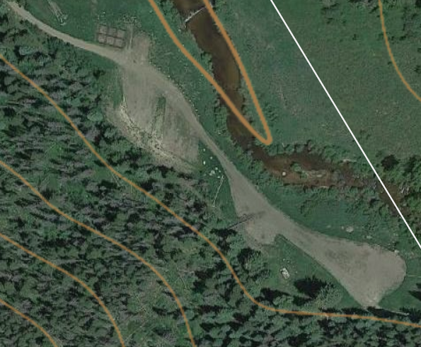
But upon zooming in, the imagery was entirely different. The season had changed and it was likely early fall based on the foliage on the trees and the brownness of the grasses.
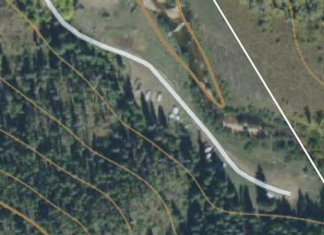
Switching to Google Earth I found the same area on the map and inspected it a little closer. Again it was empty when I pulled up the imagery from 2014, and lush. But when I turned back time like a late 80’s Cher… consequently during deer season, that same trail head looked like this.
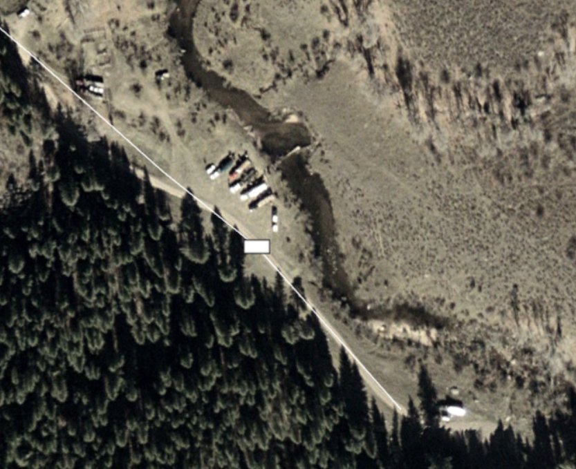
Bad news, that image was taken October 16th, 2003. Elk Season.
Another Clue, but Not the Whole Puzzle
Depending on the service you use, be it Google Earth, Google Maps, Bing Maps, OnX, etc, there may also be an imagery date time stamp on the bottom right of the screen. Google Earth has month and year of when the imagery was taken, but it can’t account for things like what day of the week an image was taken.
Using your zoom levels, and in 3D mapping services like Google Earth your rotation will allow you to see how busy some trail heads get — and hopefully help inform you if you’re dealing with a couple of trucks, or a bevvy of fifth wheelers.
Want to check out how to make your own hunting maps? Check out our Hunting Maps for Lunatics series!