Tag: mapping

Upgrading Your Humminbird Helix Battery: Lead-Acid to Lithium-Ion
A little while ago I was able to add a Humminbird Helix 7 to my ice fishing kit. This was a game changer. It allowed to not only use...
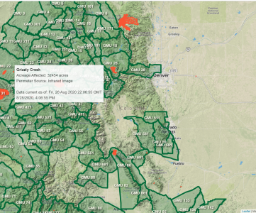
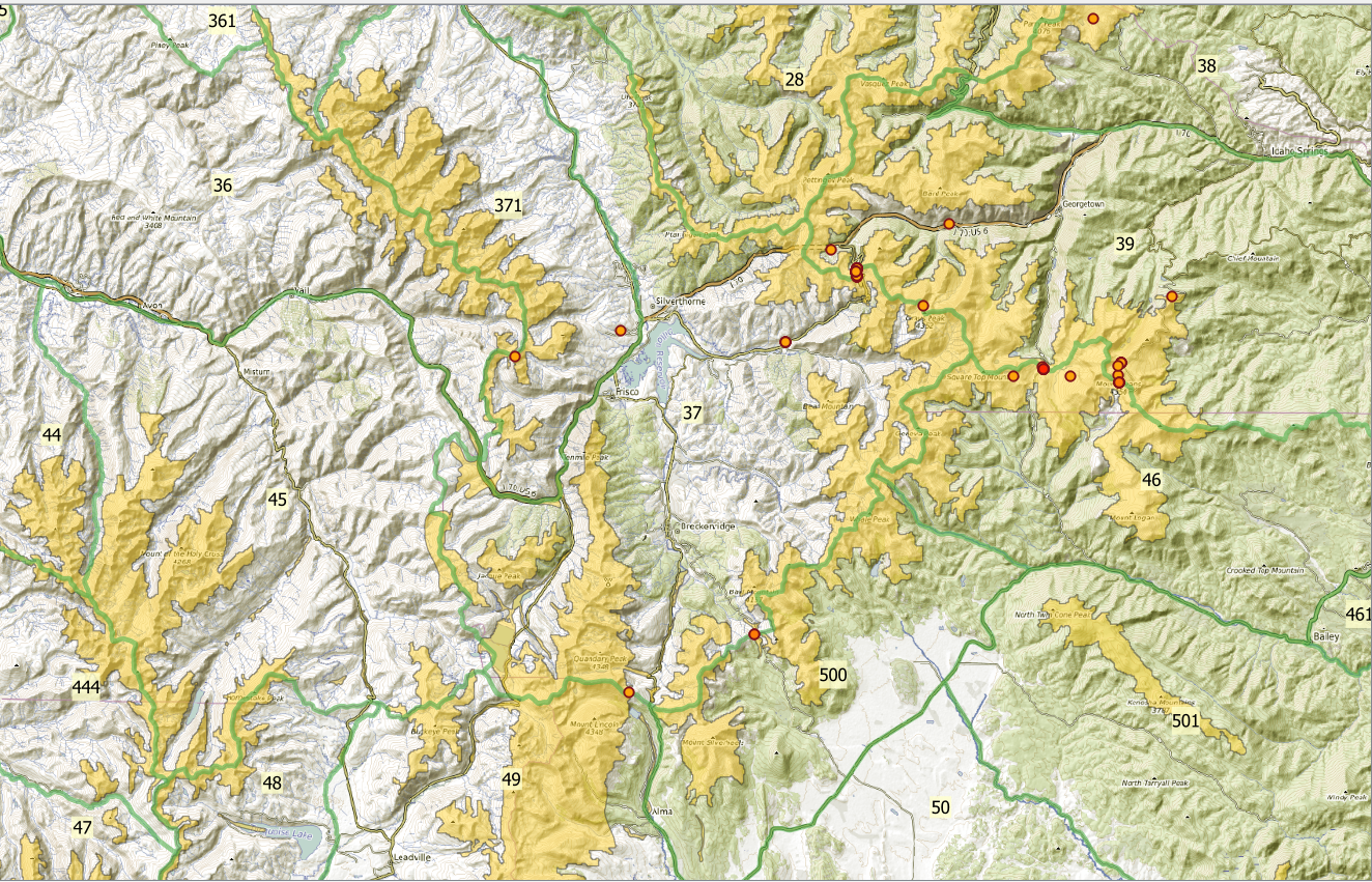
How will the Colorado Wildfire Season affect my Hunt?
It’s the end of summer, and that means wildfire season in Colorado. As hunting seasons are well underway there’s acreage burning — how will it affect you this season?
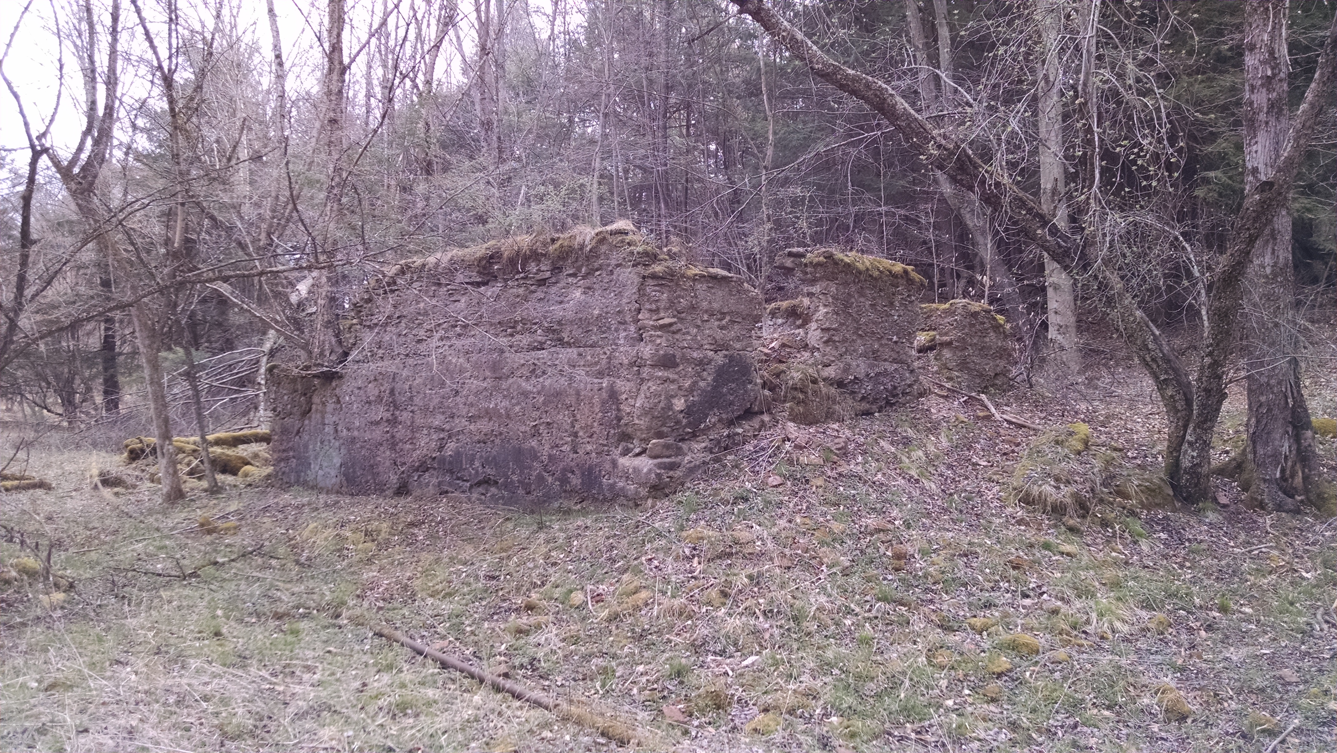
New Grouse Coverts the High Tech Way Using LIDAR
Sounds like sci-fi, but using LIDAR to find Grouse Coverts is something that no one is doing, and perhaps you should. Great winter scouting from your couch!
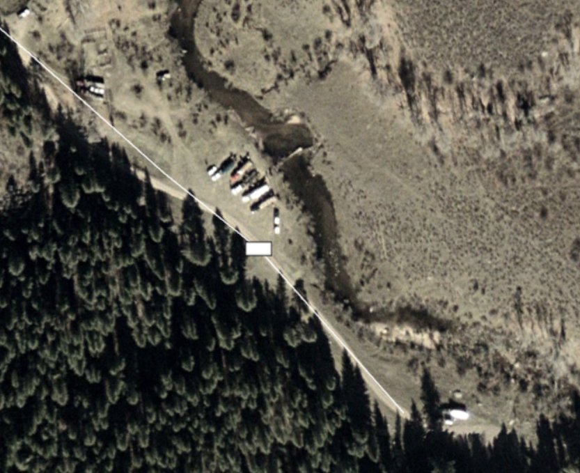
Cyber Scouting Quick Tip: Use Your Zoom!
Air Conditioned Scouting It’s August, and many hunters are out and about sweating and putting in final work for their food plots,...
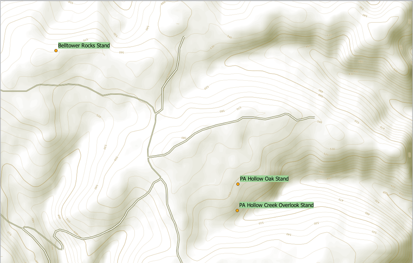
Hunting Maps for Lunatics: Adding Your Own Data
The hunting maps we created in our first article are great, using the shapefiles provided by either the state or federal government to...
Hunting Maps for Lunatics: Using Custom Data Sets
In this article we explore using one of the coolest data sets for the upland hunter, the Cornell eBird Database. The jig is up, I’ve...

