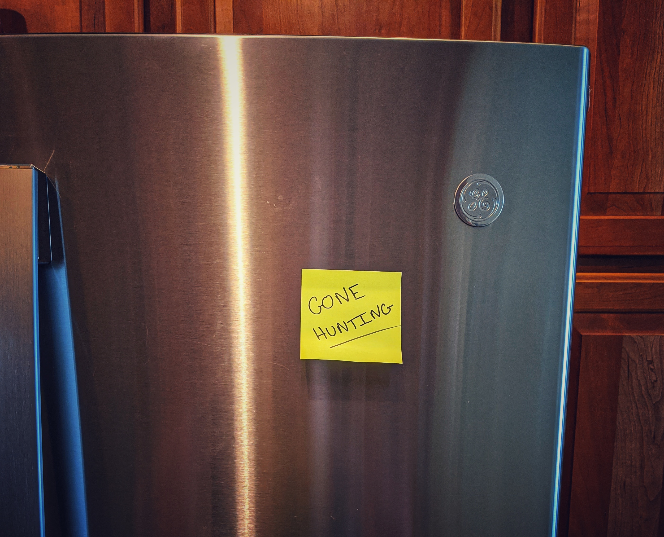
It should really go without saying, but if you’re going to go into the woods for any length of time, leave a note as to where you’re going to be. Better yet, put together an emergency plan with enough info to extract you from that location, and what you plan on doing once you’re afield.
Last season I got a Garmin inReach Mini to keep in touch with my wife during extended trips. I chose the contract plan to keep the unit live all year round as I’m beginning more and more to extend my season into the winter and go out earlier in the spring. But having comms sometimes isn’t quite good enough. Leaving your support system at home with an understanding of where you’ll be gives them peace of mind — even if things don’t go south.
Considerations
Not convinced yet that you need to include a note when you go out into the woods?
Weather windows dictate travel in the backcountry, in some places they mean extraction or waiting another day. In Alaska bush planes don’t always fly, so having some padding on your travel dates is essential. On the east coast you often have to deal with hurricanes, in the Rockies you deal with unseasonable inclement weather from thunderstorms to snow squalls. On a recent trip into the Sarvis Creek Wilderness near Steamboat Springs the Eisenhower Tunnel construction went an hour overdue, and then on Gore Pass a semi had been struck by another driver, leading to several lost hours in the truck. You can’t plan for all possibilities, but in the mountains, even when you’re still driving you don’t always have communication back home.
Information to include in an Emergency Plan
- Who is in the group, names and phone numbers
- Make and model of vehicles in the group, including license plates
- Location of trailhead, address if possible, or GPS coordinates.
- Location of camp site, GPS coordinates if possible.
- Rough itinerary. When you plan on returning.
- Hiking an established trail? Maybe an AllTrails link would be helpful.
- Emergency contacts, dispatch of national park, spouses or friends.
- When contact is expected to be re-established
- When you expect to be home, and/or a “come get me by” time
Sample Emergency Plan
Recently a friend and I backpacked in the Rocky Mountain National Park Wilderness. Now, it was before the Cameron Peak fire effectively shut down the northern end of the backcountry, but there were still a lot of considerations. Below is a sample letter that both of our wives had, just in case.
3 Aug 2020 - 5 Aug 2020
Trip Group: Alex Getty, Andrew LastName

Tentative Itinerary
3 Aug
-Arrive a little before 0700 3 Aug at Kawuneeche Visitor Center on the Grand Lake side of RMNP to exchange hang tags.
-Continue on to Colorado River Trail Head some 15 minutes up the road.
-Step off at around 0715 after gear check.
-Begin 6.25 mile hike to Skeleton Gulch camp site.
-Overnight in Skeleton Gulch

4 Aug
- Wake up, eat breakfast, scout local area
- Hike to Thunder Pass / Snow Lake / American Lakes
- Snack, eat lunch, maybe fish some
- Hike back to camp and spend the night
-Overnight in Skeleton Gulch

5 Aug
- Wake up, eat breakfast
- Break camp
- Hike back to Colorado River Trailhead
- Drive through park via Trail Ridge Road
- Depart RMNP via Estes Park
- Arrive home by mid-late afternoon.

Trail Info:
AllTrails: https://www.alltrails.com/trail/us/colorado/skeleton-gulch
Skeleton  Gulch Campsite: 40.45898,-105.88065
Trailhead where cars will be left: Colorado River Trailhead, Grand Lake, CO 80447 (40.40165,-105.84878)

Emergency Contacts / Information:

(Alex Wife): XXX-XXX-XXXX
(Andrew Wife): XXX-XXX-XXXX

Rocky Mountain National Park Wilderness Office: 970-586-1242
Rocky Mountain National Park Dispatch: 970-586-1203

Both Alex and Andrew have Garmin inReach devices.
Alex: xxxxxxxxx@inreach.garmin.com
Andrew: xxxxxxxxx@inreach.garmin.com

Alex License Plate: CO XXX-XXX
Andrew License Plate: CO XXX-XXX
Get a CORSAR Card!
If you live or recreate in Colorado, consider donating to get a CORSAR card. CORSAR stands for the COlorado Recreation Search And Rescue. This is a cheap way to augment your emergency plan in case your trip goes south. The purchase of the card isn’t insurance for you per se but helps fund Search and Rescue (SAR) operations throughout the state by going into a SAR fund. If you have a hunting, fishing, or boating license in the state of Colorado you’re already donating $0.25 to the SAR fund.
Funding SAR operators keeps them trained and ready to go if the need ever arises. You’re still footing the bill for medical transport, but in some counties you might also be responsible to pay for SAR operations — so it might be worth your while to pay $3/yr or $12/5 yrs for a card. I’d speculate a Search and Rescue operation costs way more than that. You’ll still be rescued even if you don’t contribute, but understand that SAR professionals are backcountry recreators just like you, donating their time and energy to be able to put their passions to work in a constructive way.
Have more questions? Take a look at the CORSAR FAQ here.
Purchase a CORSAR Card here. APT Outdoors is not affiliated with CORSAR, DOLA, or the Search and Rescue Fund, it’s just a good idea.


